Looking up a parcel in De Baca County? Here's how to find the official parcel map, GIS data, and property records online — and how to see your actual property line on the ground, not just on a screen.
Sources: Population — U.S. Census Bureau, American Community Survey 2022 5-year estimates; land area — U.S. Census Bureau Gazetteer Files; parcel boundaries from county records. Last updated 2026-11-11.
De Baca County maintains parcel boundaries and ownership through its county GIS and assessor offices. Start with these official lookups:
These show your parcel on a flat map. They're the authoritative source for the recorded boundary, owner, and assessment — but they stop at the screen.
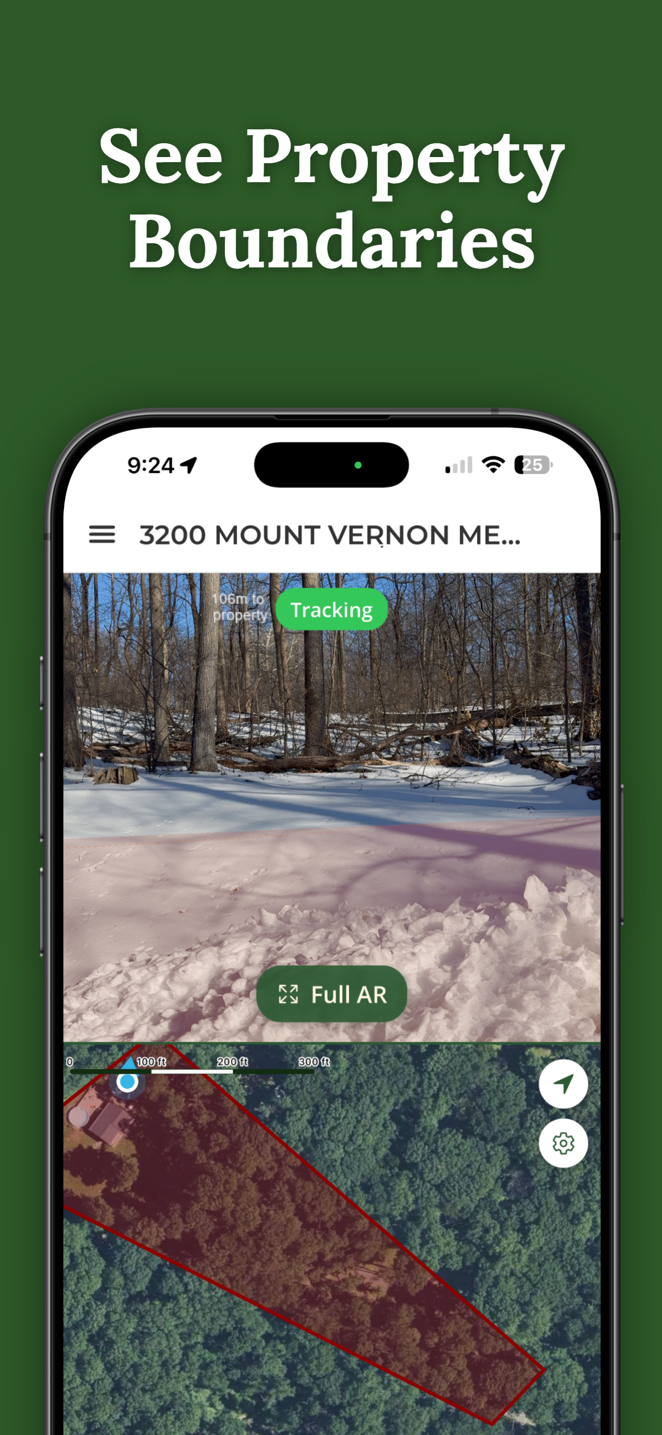
A parcel map tells you where the line is on paper. ParcelVision draws that same boundary on the ground through your phone camera, so you can walk your De Baca County property and see where it runs relative to fences, trees, and driveways. Search your address free, then unlock your parcel for a one-time $14.99 — no subscription.
Search Your Property FreeA county GIS parcel map and an on-the-ground view answer different questions:
Most people use both: confirm the parcel online, then walk it in person before building a fence, clearing brush, or settling a boundary question. ParcelVision is a visual reference, not a legal survey.
Parcel maps and property records are maintained by De Baca County and New Mexico offices; links above lead to official county lookups. ParcelVision provides boundary visualization for reference only and does not replace a professional land survey or official county records.
Search your address free, then see your boundary on the ground for a one-time $14.99.
Search Your Property Free Get it on your phone — scan with your camera
 ParcelVision