See exactly where property lines fall on the ground using your phone's camera.
Search Your Property FreeSearching is free — pay only when it's your property.
Southern properties often span wide stretches of pine plantation, mixed hardwoods, and open fields where the only boundary markers are old fence posts and painted trees. Timber companies, hunting clubs, and rural landowners all need to know where boundaries fall — especially when properties have been subdivided across generations.
Alabama property records are maintained at the county level, with each of the state's 67 counties managing its own parcel data.
ParcelVision lets you see property boundary lines in Marshall County right on the ground using your phone's camera. Point your phone, and the boundary lines appear in real space — across pine forests, red clay fields, and rolling farmland.
Population
Land Area
Sources: Population — U.S. Census Bureau, American Community Survey 2022 5-year estimates; land area — U.S. Census Bureau Gazetteer Files; parcel boundaries from Marshall County county records. Compiled by ParcelVision · last updated 2026-10-04.
Get ParcelVision free from the App Store.
Search any address in Marshall County free — then unlock your property for a one-time $14.99.
Point your phone camera and see property lines overlaid on the real world.
Tall pines and thick underbrush hide boundary markers. The boundary lines stay visible.
Verify that neighbors, hunters, and loggers respect your property limits.
Share property access with family members at no extra cost.
Pay once per parcel. No subscriptions, no recurring fees.
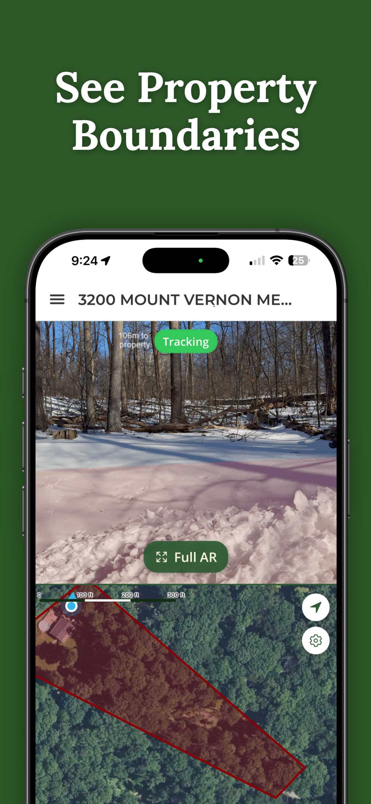
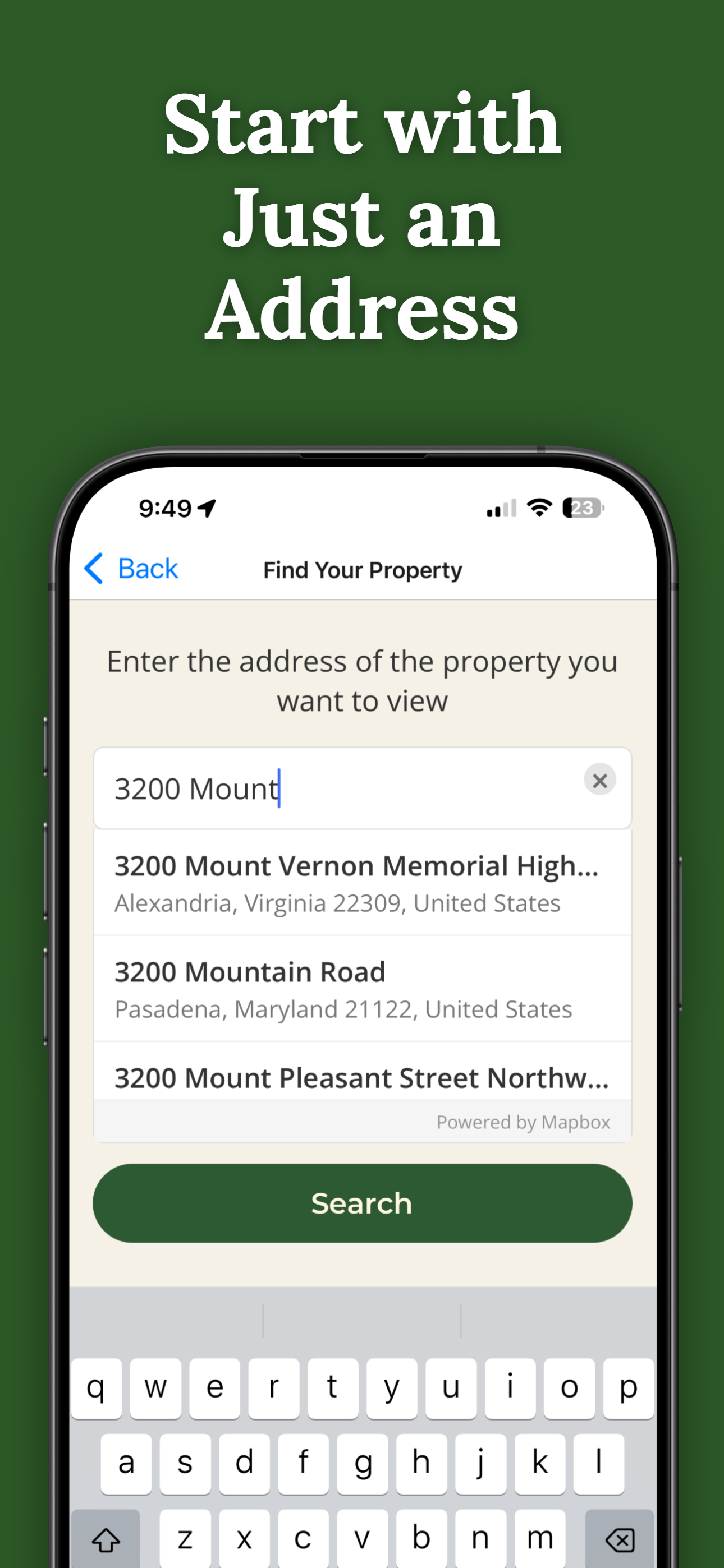
ParcelVision uses official county parcel data and GPS to overlay boundary lines in your phone's camera view. While not a replacement for a professional survey, it gives you a reliable visual reference accurate to within a few feet.
You need a connection to initially load the property data, but once loaded, the Virtual Boundary view works using your phone's GPS and sensors even in areas with weak signal.
Yes. Once you purchase a property card, you can share it with anyone for free. They don't need to pay or create an account — just open the link you send them.
ParcelVision costs $14.99 per property. This is a one-time purchase — no subscriptions or recurring fees. You can share access with anyone for free.
ParcelVision is available for iPhone on the App Store and for Android on Google Play. Searching any address is free on both; a property you unlock can be shared with anyone for free.
Search your address free, then see your property lines in Marshall County on the ground for a one-time $14.99.
Search Your Property Free ParcelVision