See exactly where property lines fall on the ground using your iPhone's camera.
Download ParcelVisionNew England properties often follow centuries-old boundaries marked by stone walls and old-growth tree lines that are easy to lose track of in dense forest. With small lot sizes and tightly packed parcels, knowing exactly where your land ends is essential for avoiding disputes with neighbors.
Maine's vast northern forests and rugged coastline create property boundaries that are often marked only by old blazes on trees or GPS coordinates.
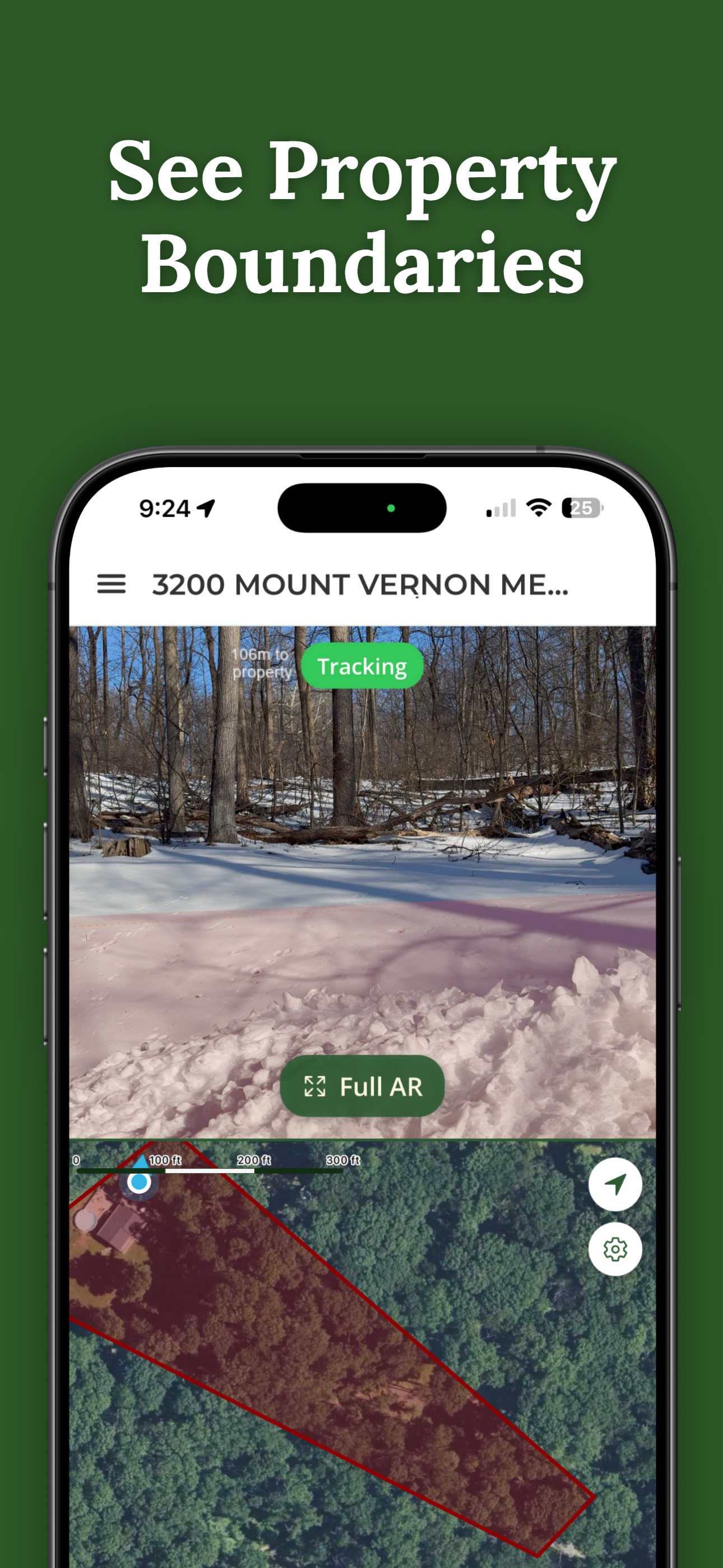
ParcelVision lets you see property boundary lines in Hancock County right on the ground using your iPhone's camera. Point your phone, and the boundary lines appear in real space — across stone walls, wooded hills, and historic lot lines.
Population
Land Area
Sources: Population — U.S. Census Bureau, American Community Survey 2022 5-year estimates; land area — U.S. Census Bureau Gazetteer Files; parcel boundaries from Hancock County county records. Compiled by ParcelVision · last updated 2026-06-24.
Get ParcelVision free from the App Store.
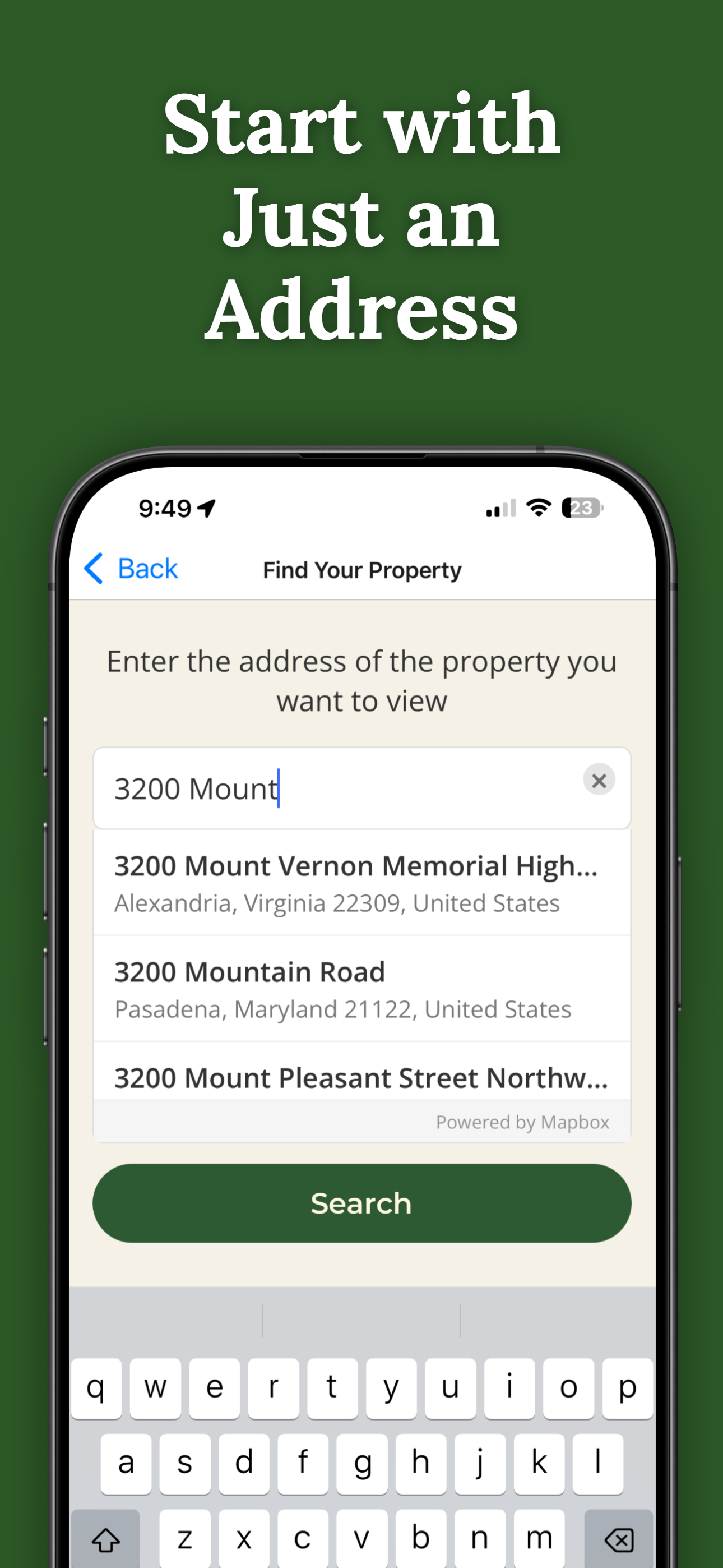
Search for any address in Hancock County and purchase access for $14.99.
Point your iPhone camera and see property lines overlaid on the real world.
Boundary lines don't always follow those old stone walls. See the actual legal lines on the ground.
Thick New England forests make it hard to gauge distance. The boundary lines cut through the canopy.
When lot lines are close together, visual confirmation prevents costly disagreements.
Pay once per parcel. No subscriptions, no recurring fees.
ParcelVision uses official county parcel data and GPS to overlay boundary lines in your phone's camera view. While not a replacement for a professional survey, it gives you a reliable visual reference accurate to within a few feet.
You need a connection to initially load the property data, but once loaded, the Virtual Boundary view works using your phone's GPS and sensors even in areas with weak signal.
Yes. Once you purchase a property card, you can share it with anyone for free. They don't need to pay or create an account — just open the link you send them.
ParcelVision costs $14.99 per property. This is a one-time purchase — no subscriptions or recurring fees. You can share access with anyone for free.
ParcelVision is currently available for iPhone. An Android version is coming soon — you can sign up for notification at parcelvision.app.
Download ParcelVision and see property lines in Hancock County on the ground.
Search Your Property Free ParcelVision