See exactly where property lines fall on the ground using your phone's camera.
Search Your Property FreeSearching is free — pay only when it's your property.
Upper Midwest properties span vast agricultural fields, northern timber stands, and lake-dotted terrain where boundary markers are few and far between. Large rural parcels with minimal fencing mean you could be hundreds of yards past a property line without knowing it — a real problem during hunting season.
Minnesota's 87 counties cover terrain from the Iron Range to the Prairie Pothole region, with 10,000-plus lakes creating unique waterfront boundaries.
ParcelVision lets you see property boundary lines in Grant County right on the ground using your phone's camera. Point your phone, and the boundary lines appear in real space — across prairies, farmland, and northern forests.
Population
Land Area
Sources: Population — U.S. Census Bureau, American Community Survey 2022 5-year estimates; land area — U.S. Census Bureau Gazetteer Files; parcel boundaries from Grant County county records. Compiled by ParcelVision · last updated 2026-10-04.
Get ParcelVision free from the App Store.
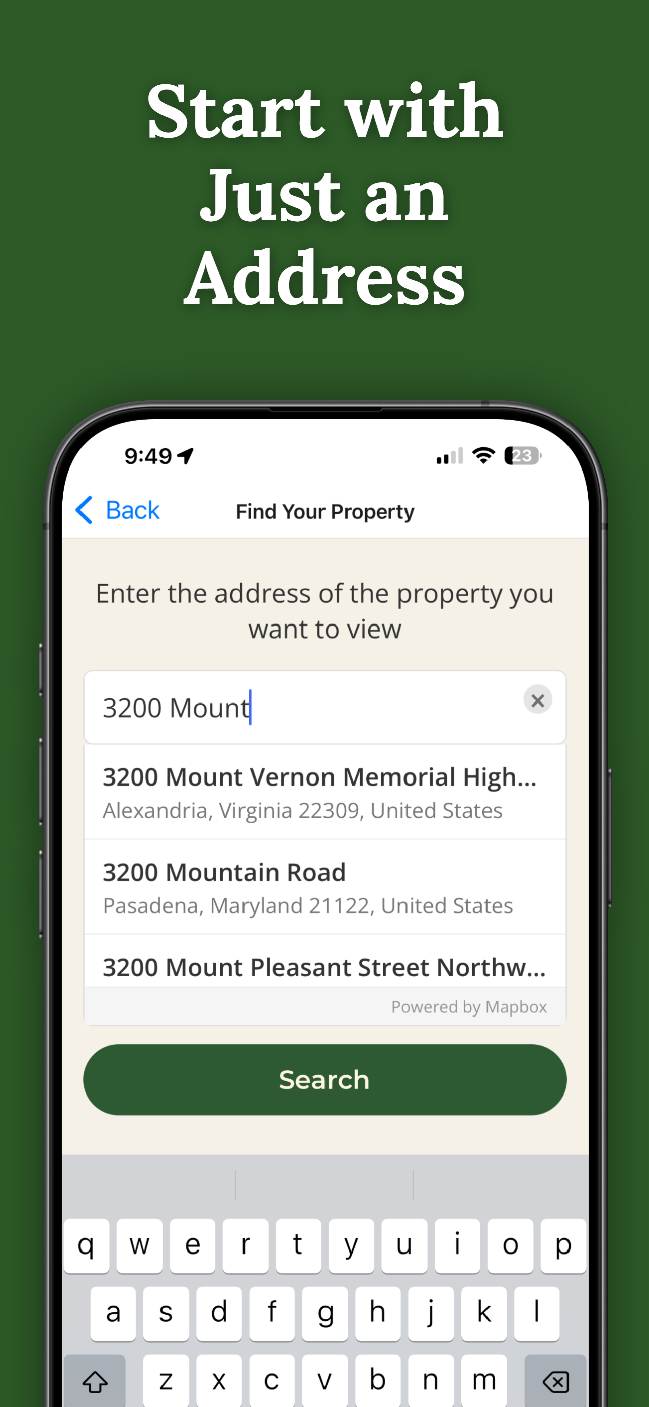
Search any address in Grant County free — then unlock your property for a one-time $14.99.
Point your phone camera and see property lines overlaid on the real world.
Flat farmland has no natural boundary markers. The boundary lines make the invisible visible.
Stay legal during deer, pheasant, and waterfowl season.
Share property access with hunting partners or family at no extra cost.
Pay once per parcel. No subscriptions, no recurring fees.
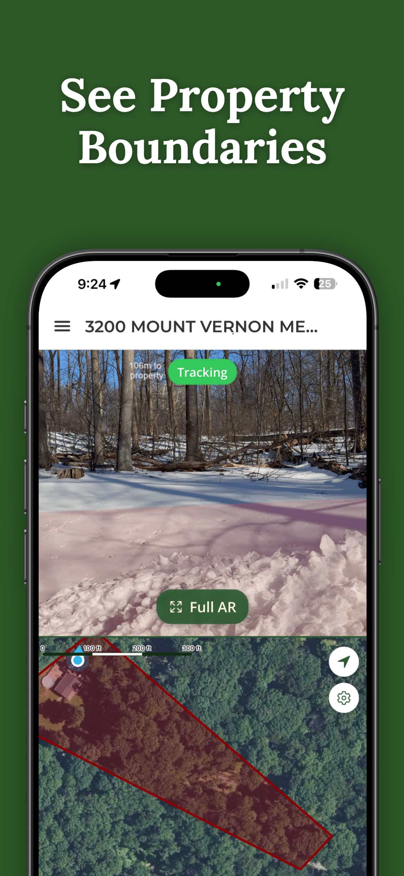
ParcelVision uses official county parcel data and GPS to overlay boundary lines in your phone's camera view. While not a replacement for a professional survey, it gives you a reliable visual reference accurate to within a few feet.
Yes. ParcelVision works especially well in open terrain where there are no natural landmarks to indicate boundaries. The the boundary lines give you a clear visual reference across fields and prairies.
Yes. Once you purchase a property card, share it with your entire hunting party for free. No one else needs to pay or create an account.
ParcelVision costs $14.99 per property. This is a one-time purchase — no subscriptions or recurring fees. You can share access with anyone for free.
ParcelVision is available for iPhone on the App Store and for Android on Google Play. Searching any address is free on both; a property you unlock can be shared with anyone for free.
Search your address free, then see your property lines in Grant County on the ground for a one-time $14.99.
Search Your Property Free ParcelVision