See exactly where property lines fall on the ground using your iPhone's camera.
Download ParcelVisionGreat Lakes region properties mix lakefront lots, agricultural land, and dense hardwood forests where boundary lines are often marked by nothing more than old fence rows. Whether you're hunting, farming, or building near the water, knowing where your property line falls is essential for permits, timber rights, and avoiding disputes.
Ohio's 88 counties maintain property records across farmland, suburban sprawl, and Appalachian foothills with varied boundary challenges.
ParcelVision lets you see property boundary lines in Adams County right on the ground using your iPhone's camera. Point your phone, and the boundary lines appear in real space — across lakefront parcels, farmland, and mixed hardwood forests.
Population
Land Area
Sources: Population — U.S. Census Bureau, American Community Survey 2022 5-year estimates; land area — U.S. Census Bureau Gazetteer Files; parcel boundaries from Adams County county records. Compiled by ParcelVision · last updated 2026-06-24.
Get ParcelVision free from the App Store.
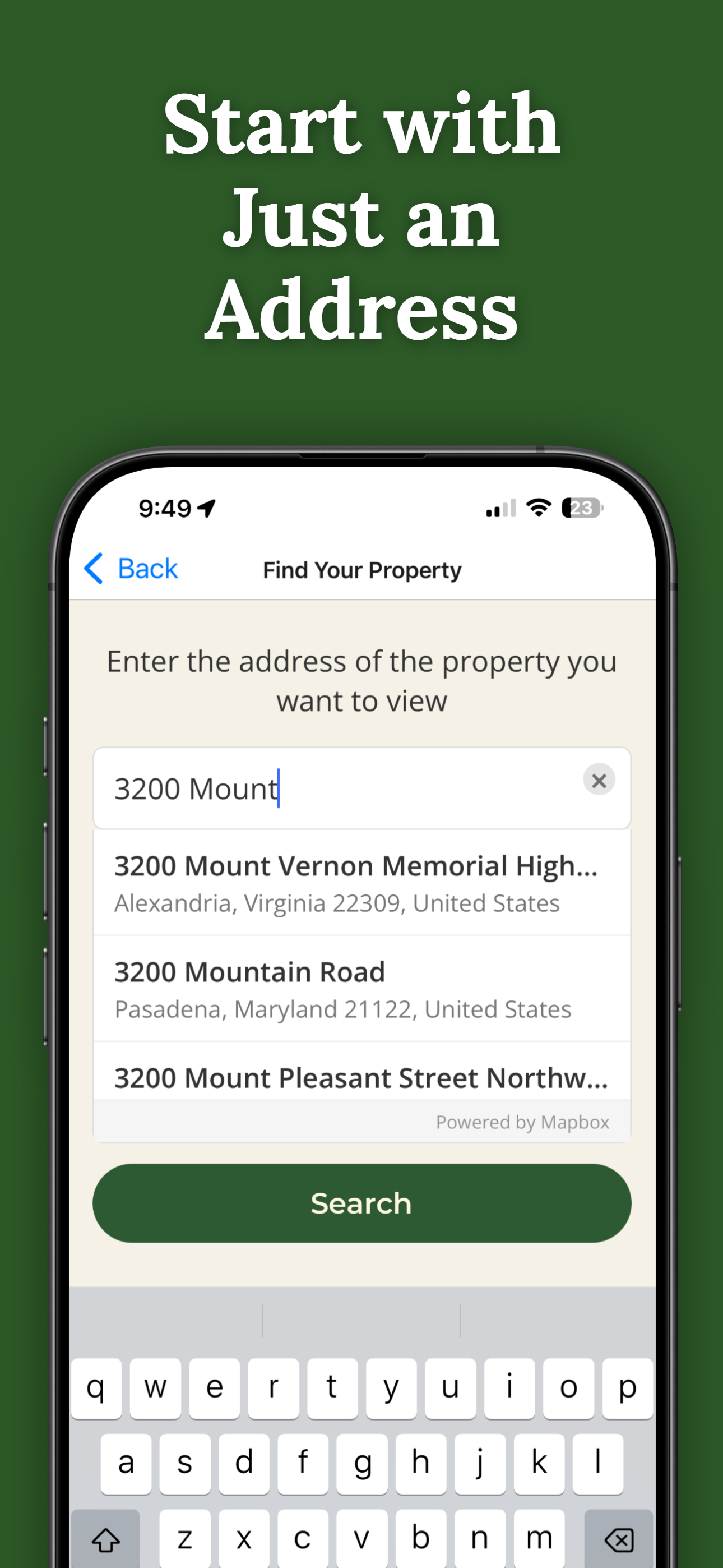
Search for any address in Adams County and purchase access for $14.99.
Point your iPhone camera and see property lines overlaid on the real world.
See where your lot ends at the waterfront, especially where shorelines shift.
Stay on your side of the line during deer season without second-guessing.
Share property access with hunting partners or family at no extra cost.
Pay once per parcel. No subscriptions, no recurring fees.
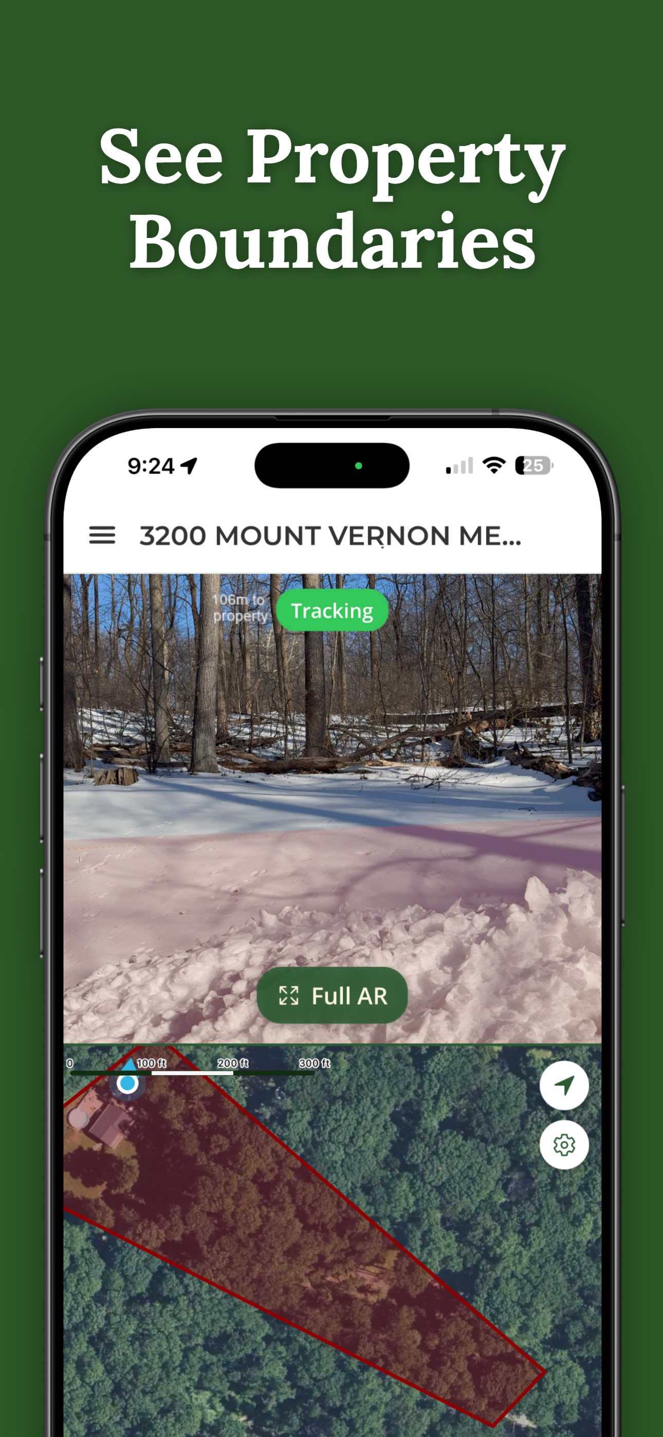
ParcelVision uses official county parcel data and GPS to overlay boundary lines in your phone's camera view. While not a replacement for a professional survey, it gives you a reliable visual reference accurate to within a few feet.
Absolutely. ParcelVision is popular with hunters who want to see property boundaries in real time while in the field. It helps you stay on legal ground without relying on posted signs.
Yes. Once you purchase a property card, share it with your entire hunting party for free. No one else needs to pay or create an account.
ParcelVision costs $14.99 per property. This is a one-time purchase — no subscriptions or recurring fees. You can share access with anyone for free.
ParcelVision is currently available for iPhone. An Android version is coming soon — you can sign up for notification at parcelvision.app.
Download ParcelVision and see property lines in Adams County on the ground.
Search Your Property Free ParcelVision