See exactly where property lines fall on the ground using your phone's camera.
Search Your Property FreeSearching is free — pay only when it's your property.
Island properties feature lush tropical vegetation, volcanic terrain, and coastal boundaries that create unique challenges for identifying property lines on the ground. Dense tropical growth and irregular lot shapes make it essential to visualize boundaries before clearing, building, or purchasing property.
Hawaii's unique island geography and historical land division system create property boundaries unlike anywhere else in the United States.
ParcelVision lets you see property boundary lines in Hawaii County right on the ground using your phone's camera. Point your phone, and the boundary lines appear in real space — across volcanic terrain, tropical forests, and coastal lots.
Population
Land Area
Sources: Population — U.S. Census Bureau, American Community Survey 2022 5-year estimates; land area — U.S. Census Bureau Gazetteer Files; parcel boundaries from Hawaii County county records. Compiled by ParcelVision · last updated 2026-10-04.
Get ParcelVision free from the App Store.
Search any address in Hawaii County free — then unlock your property for a one-time $14.99.
Point your phone camera and see property lines overlaid on the real world.
Dense vegetation hides boundary markers. The boundary lines stay visible through the jungle.
Island property values are high. Know exactly what you're buying.
Send free access to your real estate agent or buyer.
Pay once per parcel. No subscriptions, no recurring fees.
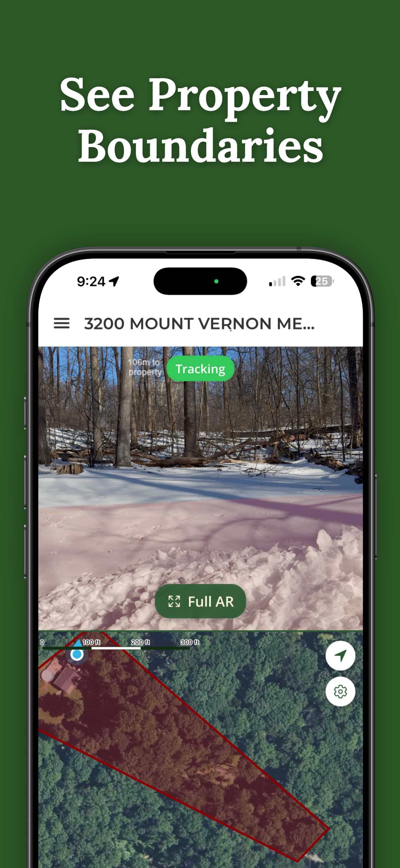
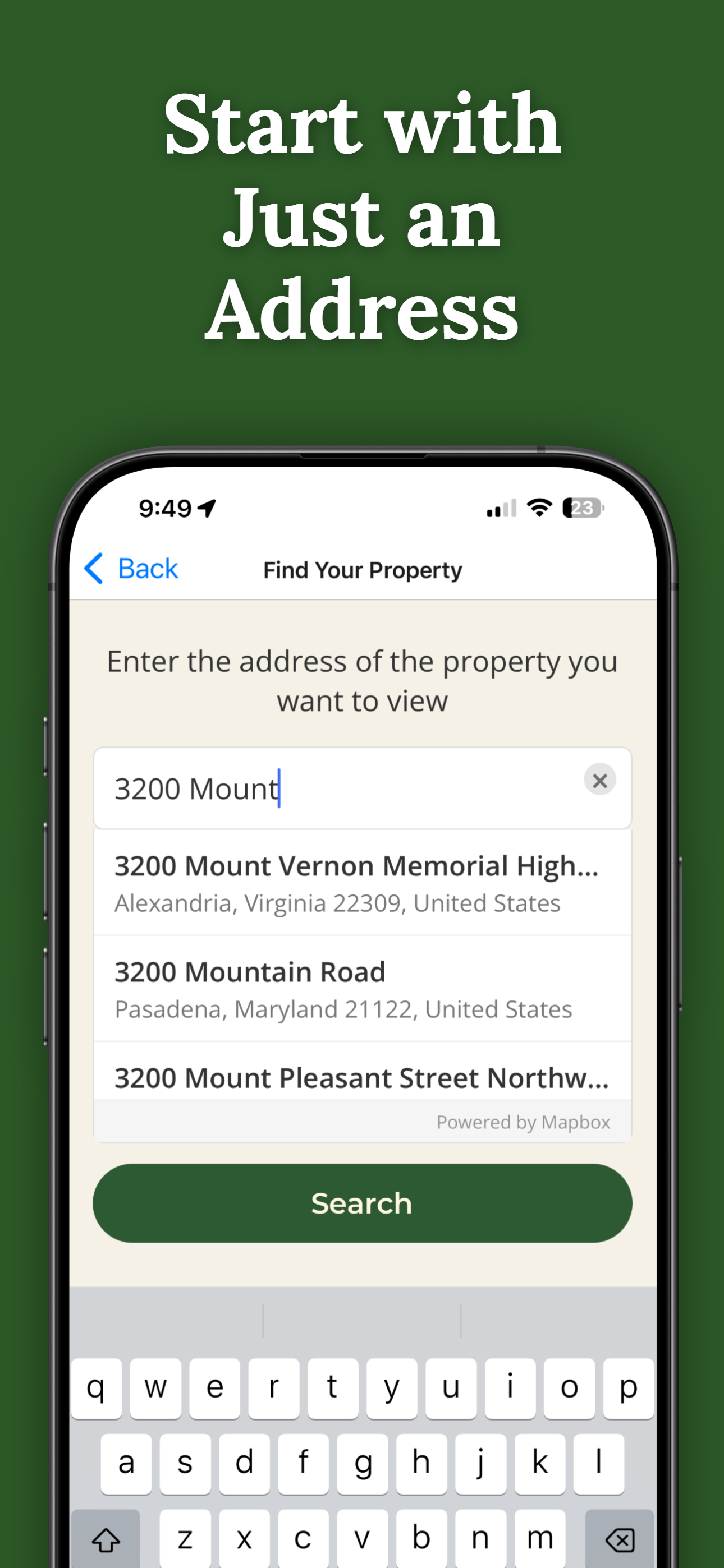
ParcelVision uses official county parcel data and GPS to overlay boundary lines in your phone's camera view. While not a replacement for a professional survey, it gives you a reliable visual reference accurate to within a few feet.
Yes. ParcelVision covers all US counties including Hawaii. The same Virtual Boundary visualization works on island properties just as it does on the mainland.
Yes. Once you purchase a property card, you can share it with anyone for free — your agent, buyers, family, or neighbors. No one else needs to pay.
ParcelVision costs $14.99 per property. This is a one-time purchase — no subscriptions or recurring fees. You can share access with anyone for free.
ParcelVision is available for iPhone on the App Store and for Android on Google Play. Searching any address is free on both; a property you unlock can be shared with anyone for free.
Search your address free, then see your property lines in Hawaii County on the ground for a one-time $14.99.
Search Your Property Free ParcelVision