ParcelVision
How to Export Property Lines to GPX or KML
Your property boundary is useful in a lot of places your parcel app isn't: on the Garmin handheld you carry hunting, in Google Earth where you're planning a building site, in the mapping app your forester or excavator uses. Getting it there means getting the boundary out as a file — almost always GPX or KML.
There are two ways to end up with that file: the free-but-fiddly route through your county's GIS data, and the two-tap route from a parcel app. Here's both, plus how to load the file where you want it.
Why Export Your Boundary?
- Handheld GPS units. A Garmin doesn't know where your property is until you give it the lines. With the boundary loaded, your position relative to your line works with no cell signal at all.
- Google Earth. The best free tool there is for planning — driveways, building sites, food plots — gets dramatically more useful with your actual parcel on it.
- Hunting and outdoor apps. Most accept GPX imports, so your boundary rides along with your waypoints and tracks.
- People you hire. Handing your forester, excavator, or fence contractor a boundary file beats describing your lines over the phone.
GPX vs. KML: Which File Do You Need?
They carry the same essential thing — a series of coordinates forming your boundary — in different wrappers. GPX is the universal language of GPS devices and outdoor apps: Garmin units, hunting apps, hiking apps. KML is Google Earth's native format and common in mapping tools. Rule of thumb: going to a device or outdoor app, use GPX; going to Google Earth or mapping software, use KML. When in doubt, GPX is accepted almost everywhere.
The Free-but-Fiddly Path: County GIS Data
Many county GIS departments publish parcel data you can download — usually as a shapefile, sometimes as KML directly. If your county offers KML, you're nearly done: download, open, delete every parcel except yours, save.
If it's a shapefile (the common case), you'll need conversion software — QGIS is the standard free option — to isolate your parcel and export it as GPX or KML. It works, it costs nothing, and it's a genuinely tedious hour if you haven't done it before. Availability varies wildly by county too; some publish everything, some publish nothing. If yours publishes nothing, you're back to a records request or the app route.
The Phone Path: Export From a Parcel App
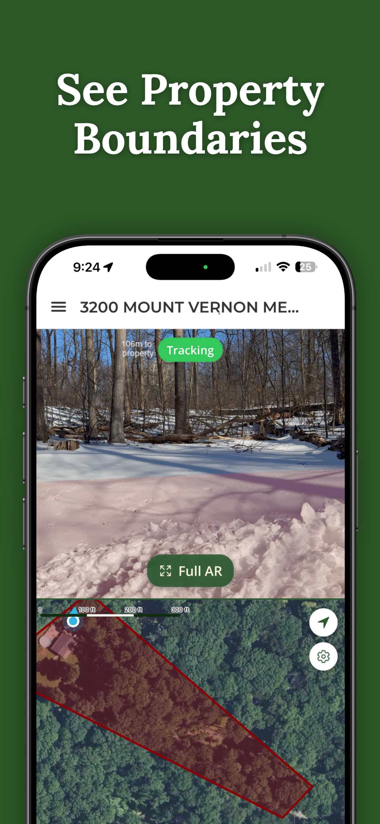
The reason parcel apps exist is that the county-records route is a chore. ParcelVision's Pro Tools include one-tap GPX and KML export of any property you've unlocked — the same recorded boundary you see on screen, packaged for wherever it's going next. No shapefiles, no conversion software, works the same in every county we cover.
Loading the File in Google Earth
- On desktop: File → Open (or drag the KML in), and the boundary appears over the imagery. It saves under Temporary Places — drag it to My Places to keep it.
- On mobile: open the KML from Files or your email and choose Google Earth.
- GPX works too: Google Earth reads GPX directly, it just imports as a track rather than a styled shape.
Loading It on a Garmin or in an Outdoor App
- Garmin: connect the unit over USB and drop the GPX into its Garmin/GPX folder, or import through Garmin's desktop or Explore apps. The boundary shows up as a track on the unit's map.
- Outdoor and hunting apps: look for "Import GPX" in the app's settings or map layers, then open the file from your phone. Import support varies by app and plan tier, but GPX is the format they take when they take anything.
A Word on Accuracy
Exporting doesn't change what the data is: a mapped representation of county records, not a survey. The file in your Garmin is exactly as accurate as the parcel data it came from — see how accurate property line apps are for what that means in practice. Plan, navigate, and manage with it freely; just don't build or cut right on a line without finding the physical markers or getting a survey.
Your Boundary, Everywhere You Need It
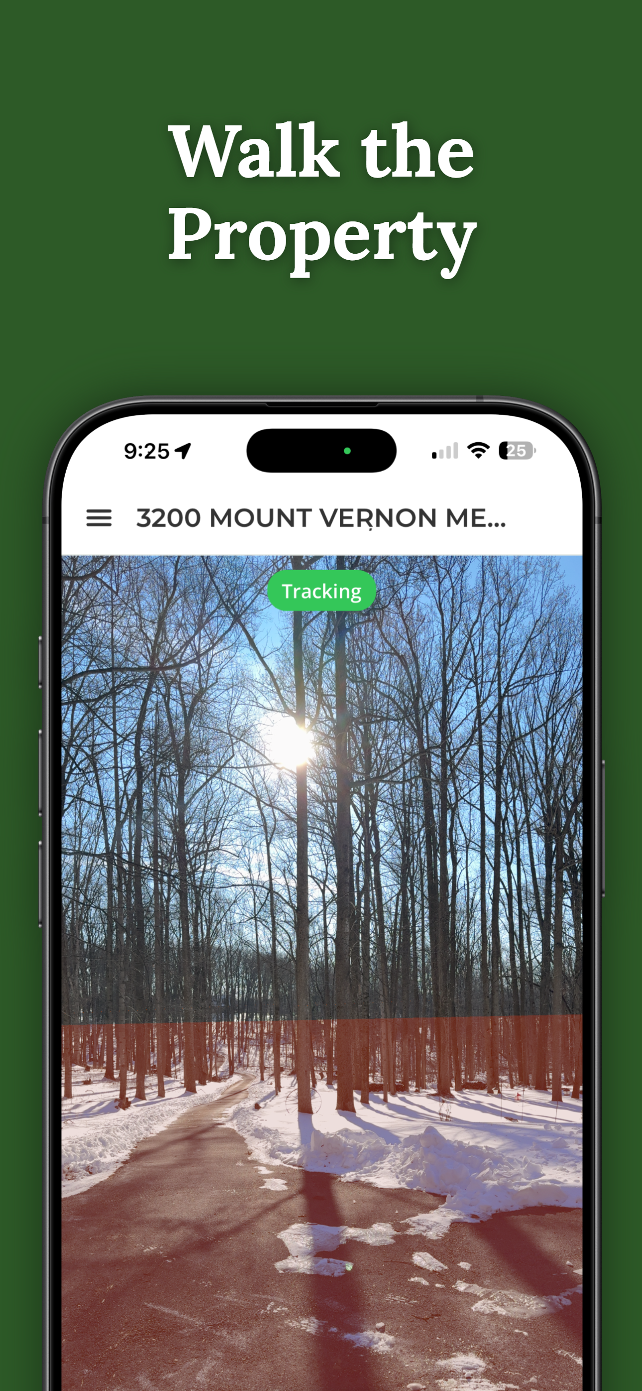
ParcelVision shows your property lines on the ground in your camera view — and Pro Tools export any unlocked property as GPX or KML for your Garmin, Google Earth, or hunting app in two taps.
Download ParcelVisionFree to download and search. See your first boundary on the ground for $14.99.
This article is for informational purposes only. Exported boundary files reflect county parcel records and are not survey-grade. ParcelVision is a visualization aid, not a legal survey — use a licensed surveyor for construction, timber, or legal decisions on a boundary.