ParcelVision
How to Measure Land Acreage With Your Phone
"How many acres is this, really?" comes up more often than you'd think — when you're listing land, fencing a pasture, estimating seed or spray for a field, cruising a timber stand, or just settling a family debate about the back forty. And most people's first instinct is to start tracing lines on a map app.
Hold on before you trace anything, because there are two different numbers here, and knowing which one you need saves a lot of trouble. Your phone can get you both.
The Two Numbers: Recorded Acreage vs. Measured Acreage
Recorded acreage is what the county has on file for your parcel — the number from your deed and the assessor's records. It's the number that matters for taxes, listings, and legal descriptions.
Measured acreage is whatever you compute by tracing or walking an area with GPS. It's the right tool for a piece of your land — a fenced pasture, a hay field, a timber stand — where no official number exists.
The two rarely match exactly, and that's normal. Deeds get written from surveys of varying age and quality, GIS parcel shapes are mapped representations of those records, and GPS traces carry their own error. If your trace says 38.2 acres and the deed says 40, that's not a scandal — it's three different measurement methods agreeing pretty well.
The Fast Way: Look Up Your Parcel's Official Acreage
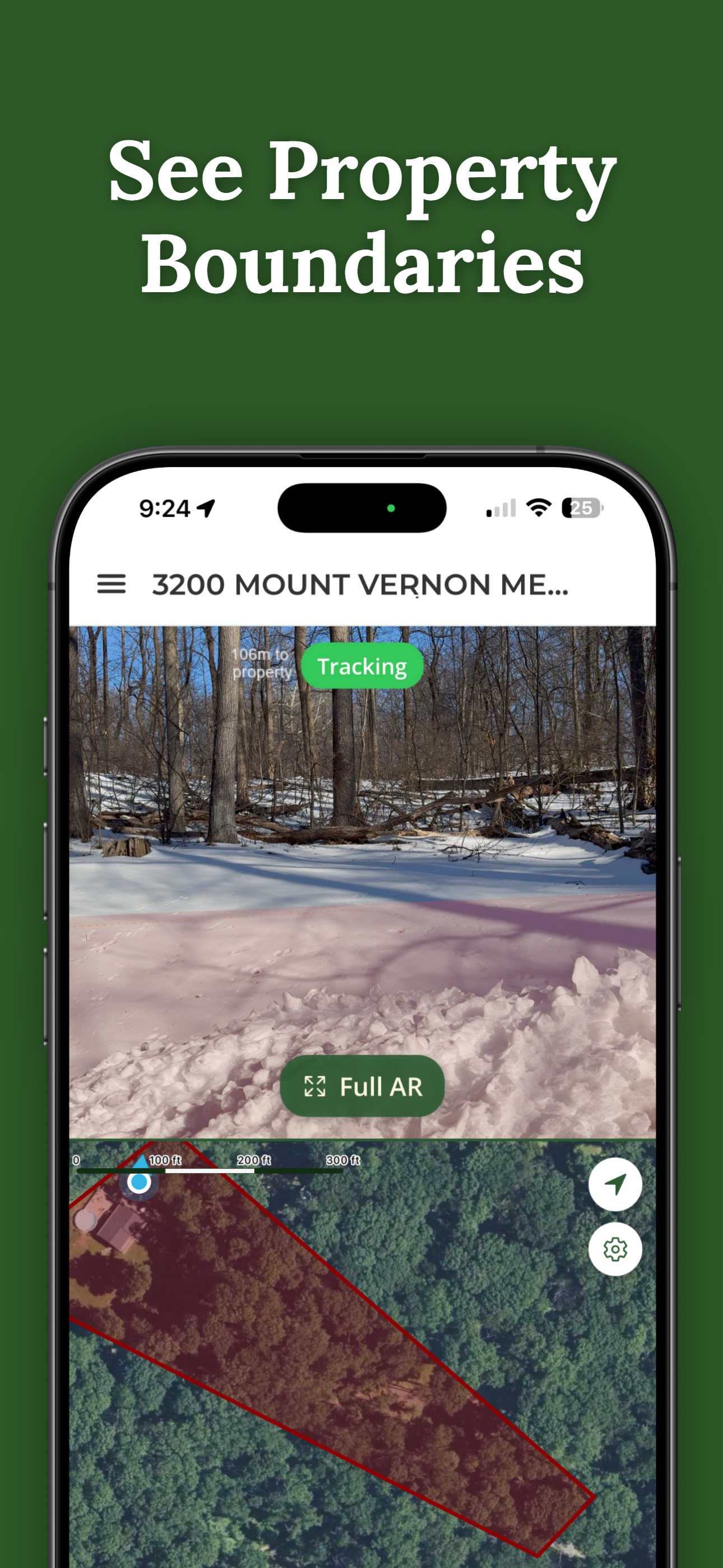
If what you want is the whole parcel's acreage, don't measure anything — look it up. A parcel app pulls your property's recorded acreage straight from county records in a few seconds, along with the boundary shape, parcel number, and lot details. In ParcelVision, searching is free: find the parcel on the map and the acreage is right there in the parcel facts.
This is the number to use for anything official-adjacent. If you're checking a property you're about to buy, it's also worth comparing the recorded acreage against what the listing claims — discrepancies happen more than they should.
Measuring a Piece of Your Land
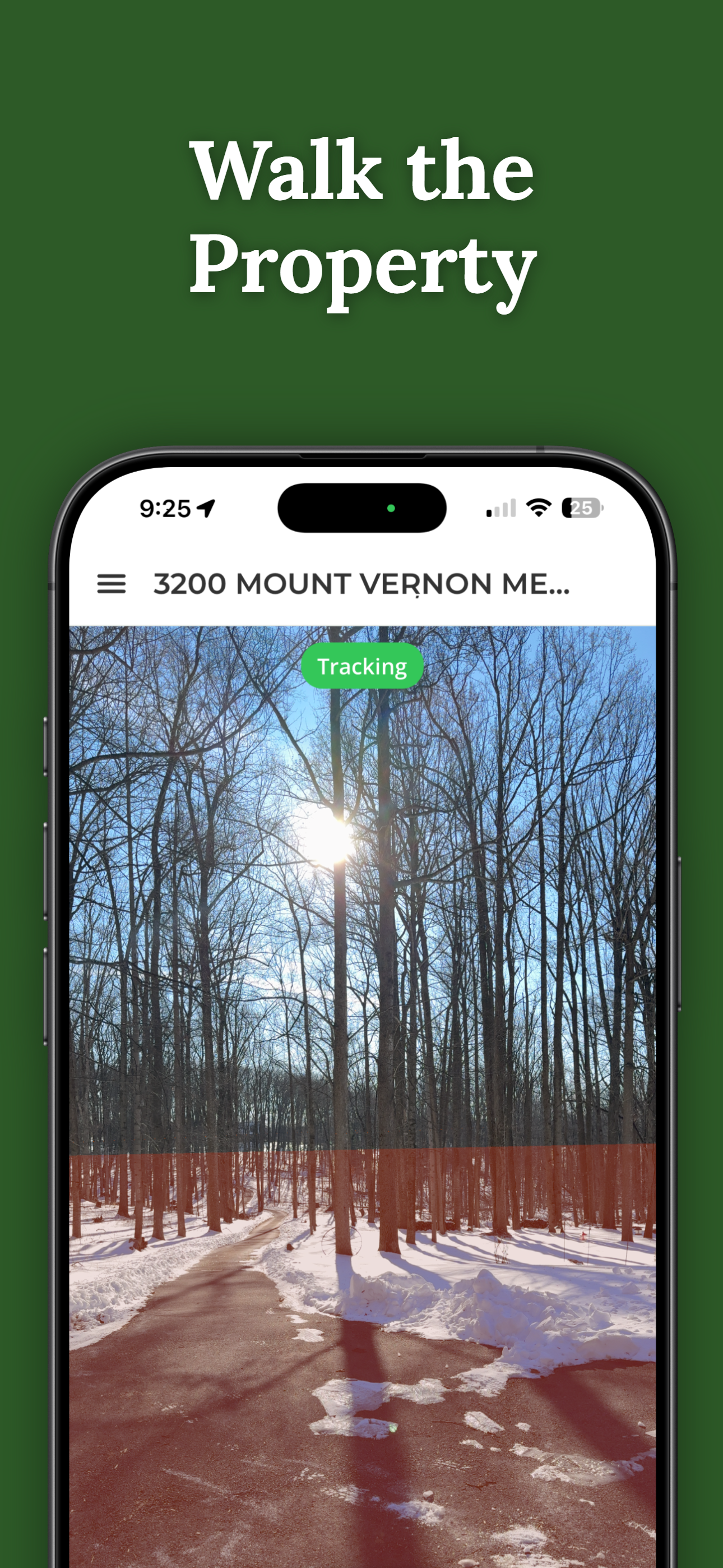
Where phone measurement earns its keep is the areas no record covers. How many acres is the fenced pasture? The cleared portion? The stand of pines you're quoting to a logger? For those, you measure: walk the perimeter with GPS or trace it on satellite view, and the app computes the enclosed area.
ParcelVision's Pro Tools include sub-area acreage for exactly this — mark out a section inside your parcel and get its acreage, alongside the official boundary so you can see what portion of the whole it is. Fields, paddocks, timber stands, building envelopes: measured once, saved with the property.
Measuring Distances, Not Just Areas
Half the time the question isn't acreage at all — it's "how many feet of fence is this?" or "how far is the barn from the line?" The same GPS toolkit handles line measurements: distance along a fence run, or from where you're standing to a boundary. If you're pricing a fence by the foot, measuring the actual run beats estimating off a map every time.
How Accurate Is Phone Measurement?
Phone GPS is accurate to roughly 10–30 feet per point, and error matters more on small areas than large ones. On a 40-acre parcel, a few feet of wobble along the perimeter barely moves the total; on a half-acre lot, it can move the number noticeably. Satellite tracing is often tighter than walking for well-defined edges, and walking wins where canopy hides the edge you care about.
Treat phone-measured acreage as a working number — great for planning, quoting, and managing, not for legal descriptions. Nothing your phone produces is survey-grade, and anyone who tells you otherwise is selling something. For what accuracy to expect from parcel data itself, see how accurate property line apps are.
When You Need a Real Survey
Selling or subdividing land, writing a legal description, resolving a boundary question, or anything headed toward a courthouse — those need a licensed surveyor, whose measurement is the only kind that counts legally. A survey isn't cheap (here's what surveys cost), which is exactly why it's worth using your phone for every measurement that doesn't need one.
Your Land, Measured
ParcelVision pulls your parcel's official recorded acreage free, and Pro Tools add sub-area acreage, line measurements, and measure-to-point for the pieces no record covers — all saved with your property.
Download ParcelVisionFree to download and search. See your first boundary on the ground for $14.99.
This article is for informational purposes only. GPS measurements are working estimates, not survey-grade figures, and ParcelVision is a visualization and measurement aid, not a legal survey. Use a licensed surveyor for legal descriptions, subdivisions, and boundary disputes.