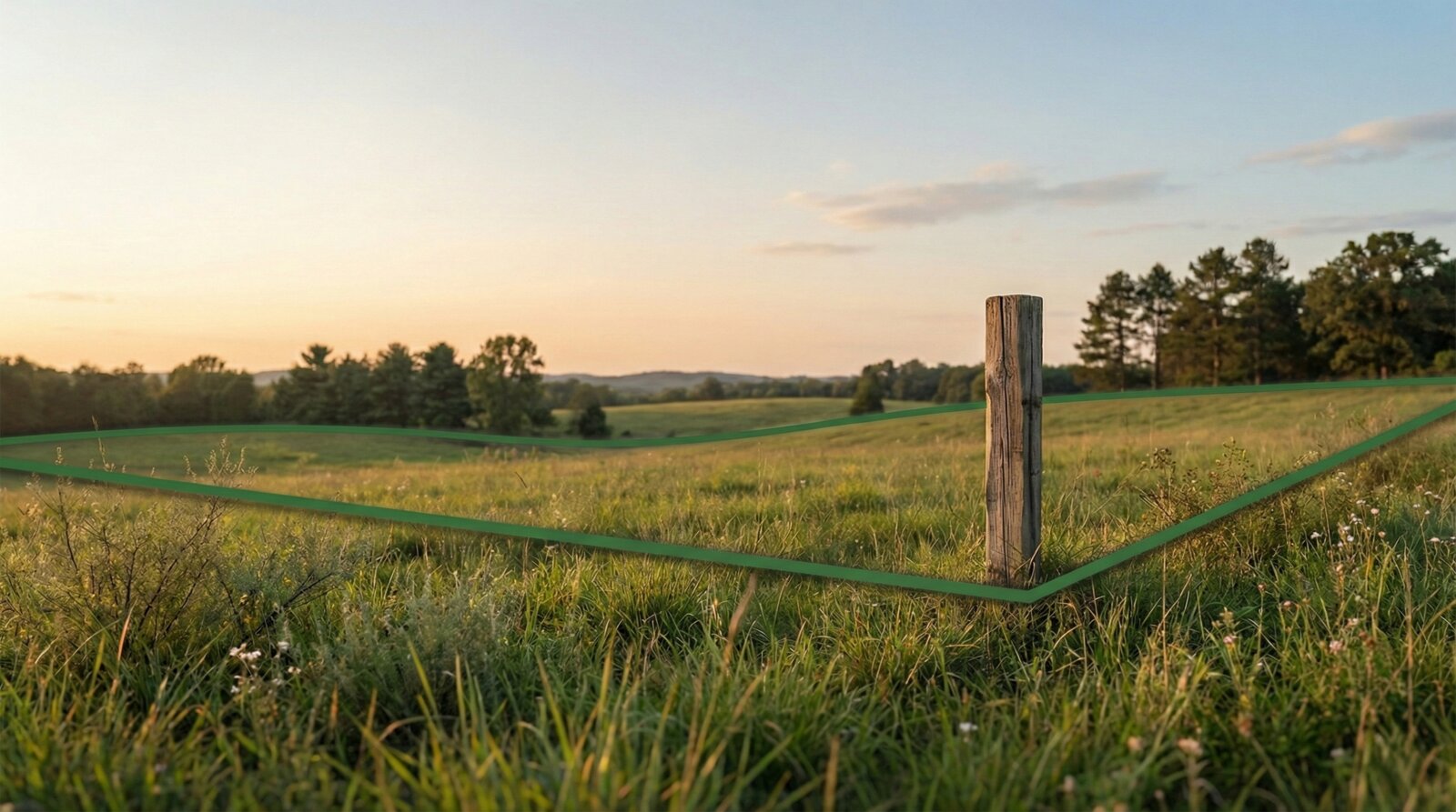
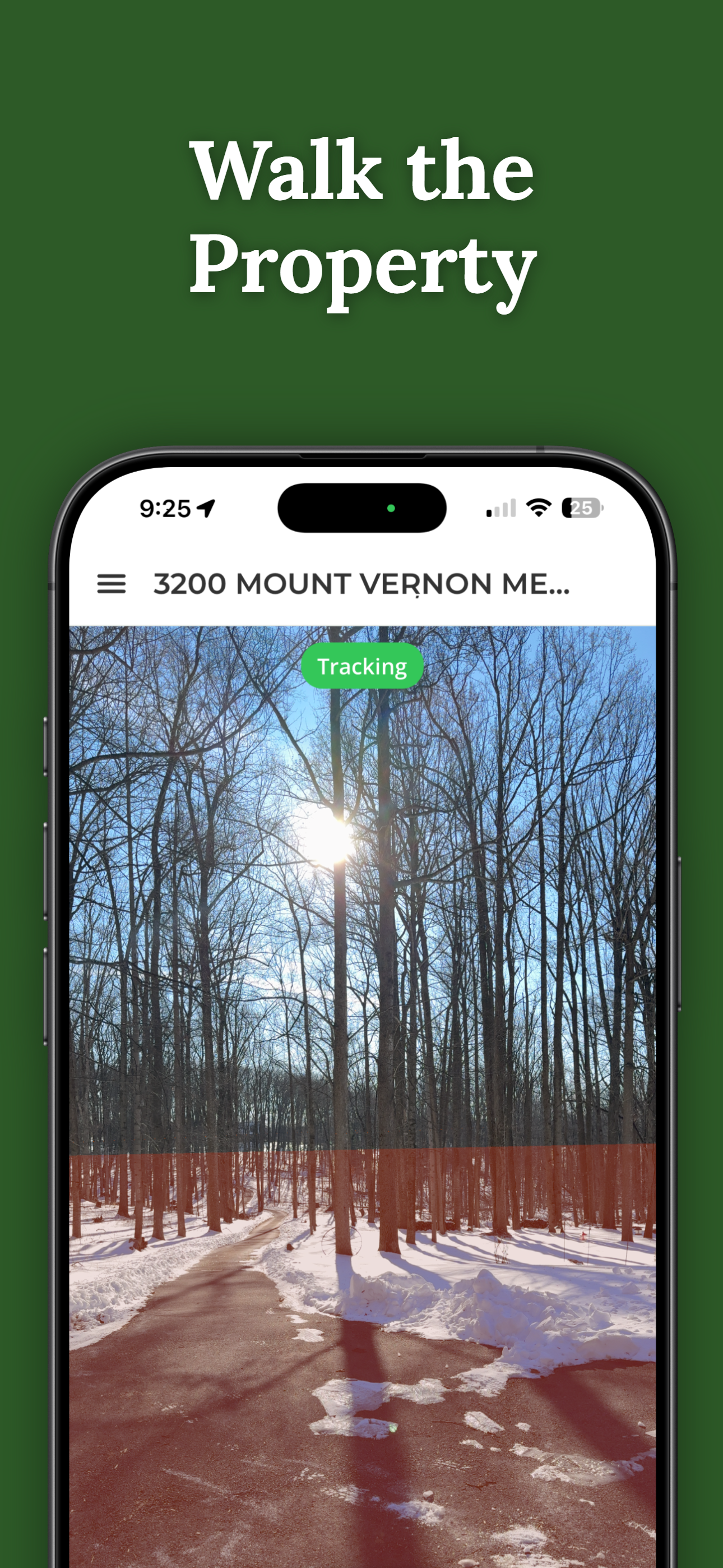
Walk your property and see the boundary lines appear around you — like they were painted on the ground.
$14.99 per property. One-time. No subscription.
Free to download and search. See your first boundary on the ground for $14.99.
Need help first? Visit support.
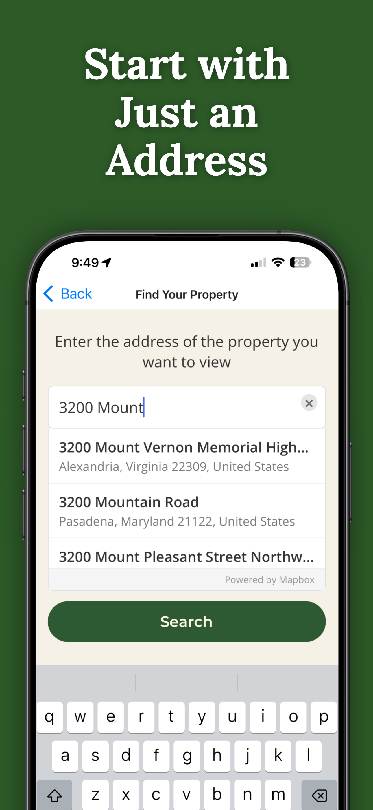
Search for a property and preview boundaries on the map before purchasing.
One-time payment. Permanent access. Share with family, contractors, or buyers.
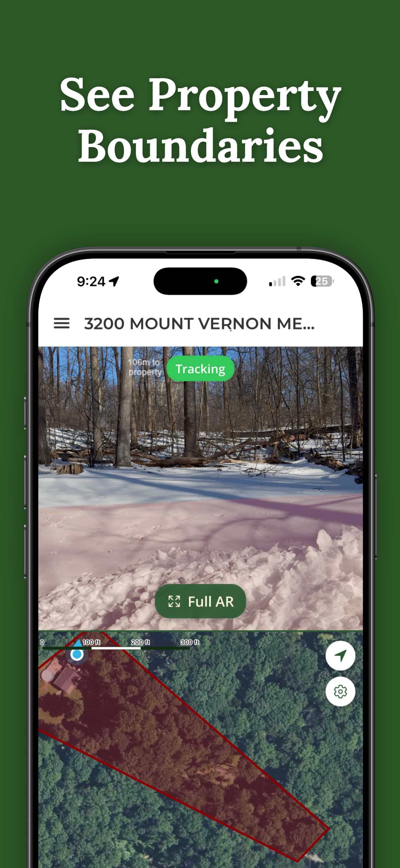
Point your camera at the land. Boundary lines appear overlaid on the real world.
Boundary lines adjust in real-time as you walk the property.
Download once. Use anywhere, even without cell service.
Mark fences, trees, and landmarks with GPS coordinates.
Send access to anyone. Shared users never pay.
Compare: Professional surveys cost $500–$2,000+
The boundary is just the start. Pro Tools is a one-time unlock that adds a field toolkit to every property you own — measure it, mark it, and take it with you.
A survey crew starts around $500. Pro Tools is a one-time unlock — every property, never renews.
Measurements are GPS-accurate, not survey-grade. A visualization aid, not a legal survey.
30 seconds on an actual property — no demo, no animation.
ParcelVision is available now on the App Store.
Download for iPhoneOn Android? We're working on it.
We'll email you once when the Android version launches.
Download free. See your first boundary for $14.99.
Download ParcelVision ParcelVision