ParcelVision
Can Realtors Show Buyers Property Lines?
Ask a room of land agents what makes them nervous and boundary questions rank high. Buyers always ask where the lines are. Answer confidently and wrongly, and you've bought a problem: boundary misrepresentation is a recurring theme in E&O claims against agents. Refuse to engage at all, and you look like you don't know the listing.
The good news is the safe path is well-worn. It comes down to what you show, and how you describe it.
The Risk, Concretely
The classic fact pattern: an agent points at a fence, a tree line, or a stake and says "the property goes to there." The buyer relies on it, buys, surveys later — and the line is somewhere else. Whether it becomes a demand letter depends on the state and the damages, but "the agent told me the boundary was X" is the kind of claim E&O carriers know by heart. The problem was never showing boundary information — it was presenting a guess as a fact.
What You Can Show Comfortably
There is nothing wrong with showing a buyer the recorded, public data about a parcel — that's competence, not liability:
- County parcel maps and GIS viewers — the recorded boundary shape, acreage, and parcel number.
- The plat and the deed's legal description — the documents that define the parcel.
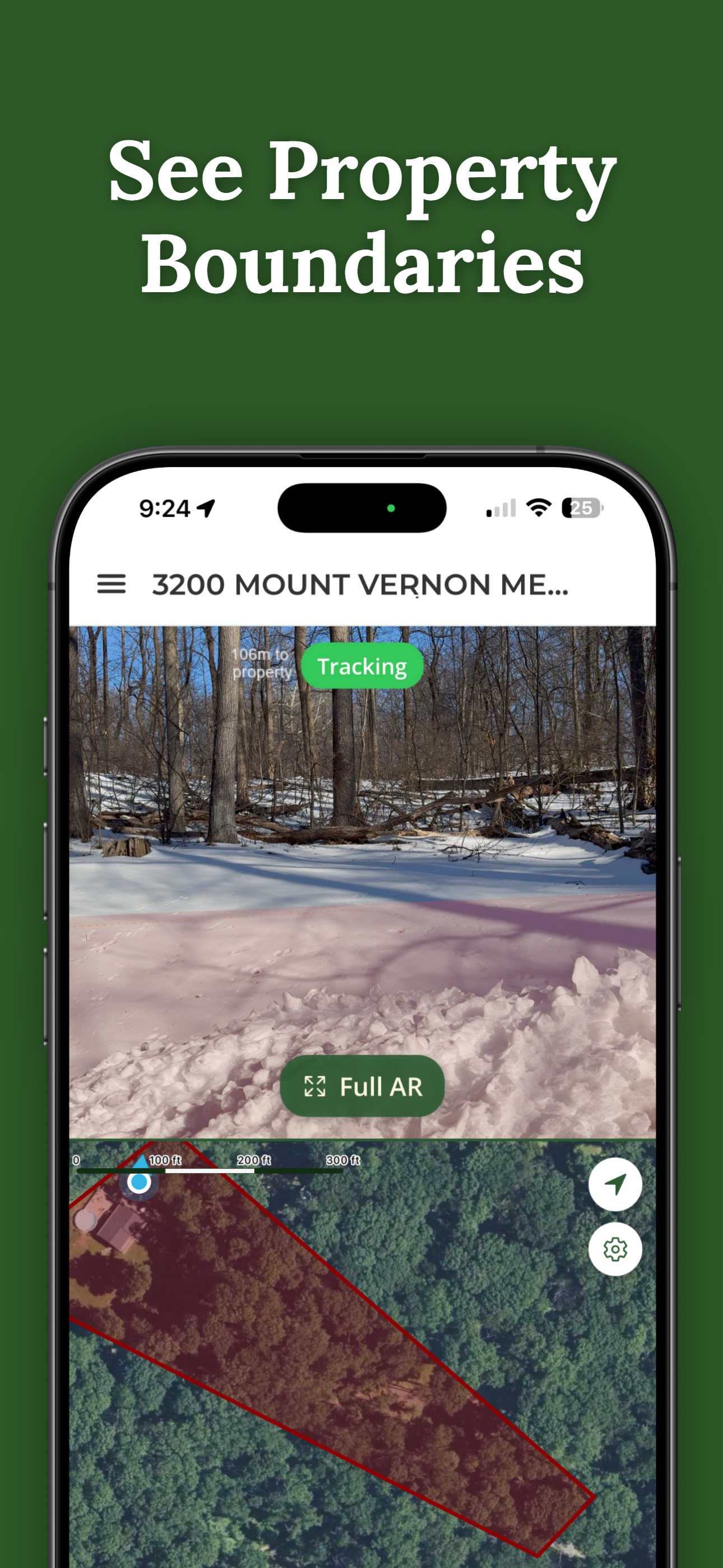
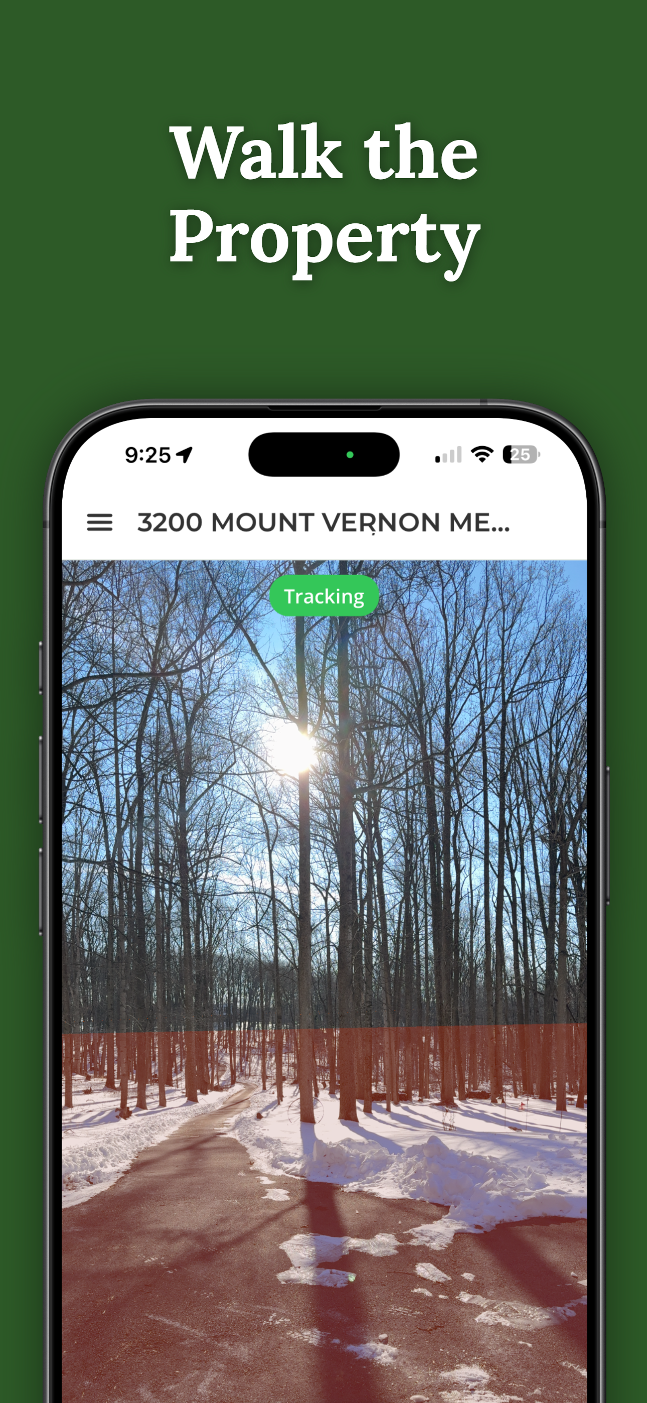
- GPS boundary apps — the same recorded parcel line, shown against your position on the land. ParcelVision draws it on the ground through the phone's camera, which makes it a genuinely good showing tool — walked with buyers, it shows where the recorded line falls.
- An existing survey, if the seller has one — the best artifact of all, presented as the surveyor's work.
The Three Habits That Keep You Safe
- Attribute everything. "This is the county's recorded parcel line" and "the deed says 42 acres" are statements of record. "Your line is right here" is a statement of fact you can't back. Same information — different sentence, different liability.
- Recommend the survey in writing when it matters. If a buyer's plans depend on where a line falls — building near an edge, fencing, subdividing — put "we recommend a licensed boundary survey" in an email. That sentence is what your E&O carrier wishes every agent wrote.
- Never guess at monuments. If you don't know whether the fence is the line, say exactly that: "Fences and lines often disagree — the recorded line shows the fence may not match; a survey settles it." That answer is honest, protective, and — usefully — makes you sound like the land expert in the room.
Tools with the disclaimer built in help here. ParcelVision presents its boundary as a visualization of recorded data, not a survey — which means the tool's framing and your professional framing say the same thing. Your brokerage may have its own policies on boundary representations; this is general practice, not legal advice for your state.
Why Engaging Beats Deflecting
Some agents conclude the safe move is to say nothing about boundaries at all. That's safe like an empty open house is safe. Land buyers need the extent of the property to decide anything; the agent who can walk the recorded line, answer with attributed data, and know when to call for a survey closes more land — and documents better — than the one who shrugs. The skill isn't avoiding boundary questions; it's answering them in the language of records. Here's the full showing workflow.
Show the Recorded Line, Say It's the Recorded Line
ParcelVision draws the county's recorded parcel line on the ground through your phone camera — a showing tool with the "not a survey" framing built in. Searching any listing is free.
Download ParcelVisionFree to download and search. Unlock and share a property for $14.99.
This article is general information for real estate professionals, not legal advice; rules and standards of practice vary by state and brokerage. Consult your broker, state regulations, and E&O carrier for guidance on boundary representations. ParcelVision is a visualization aid built on recorded county data, not a legal survey.