ParcelVision
How to Show Property Lines at a Land Showing
Every land showing gets to the same question within minutes: "So where does it actually go?" A house tour shows itself — the rooms are the product. Forty acres of pasture and timber doesn't. The agent who can walk a buyer along the actual boundary and answer "right here" is selling a different product than the one waving vaguely at a tree line.
Here's a showing workflow for making a property's extent visible — before the appointment, during the walk, and in what the buyer takes home.
Before the Showing: Know the Parcel Cold
Pull the recorded parcel before you drive out. In ParcelVision, searching an address is free — the parcel comes up with its boundary shape, acreage, and parcel number. Five minutes of prep answers the questions buyers actually ask: How far back does it go? Is the pond inside the line? Does it include the strip along the road?
Check the recorded acreage against the listing while you're at it — verifying acreage before you list is its own topic, but the showing is the second-best time to catch a discrepancy, and far better than the closing table.
Plan the Walk Like a Route, Not a Wander
Look at the boundary shape and plan a loop that touches what sells: the best corner, the water, the view, the buildable rise. Note where the boundary does something a buyer wouldn't guess — juts around a neighbor's parcel, follows a creek instead of the fence — because those are exactly the spots to address proactively rather than have a survey surprise the deal later.
During the Showing: Let Them See the Line
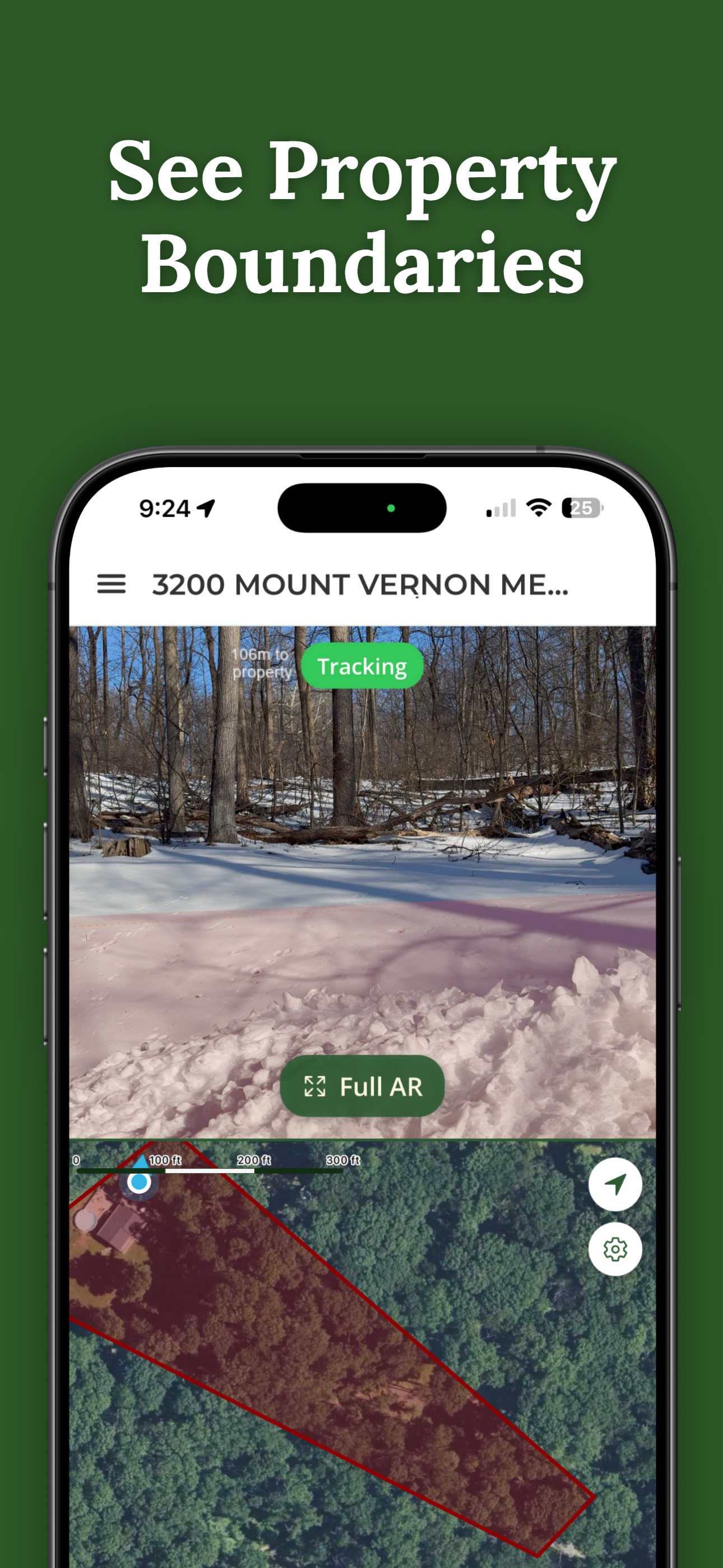
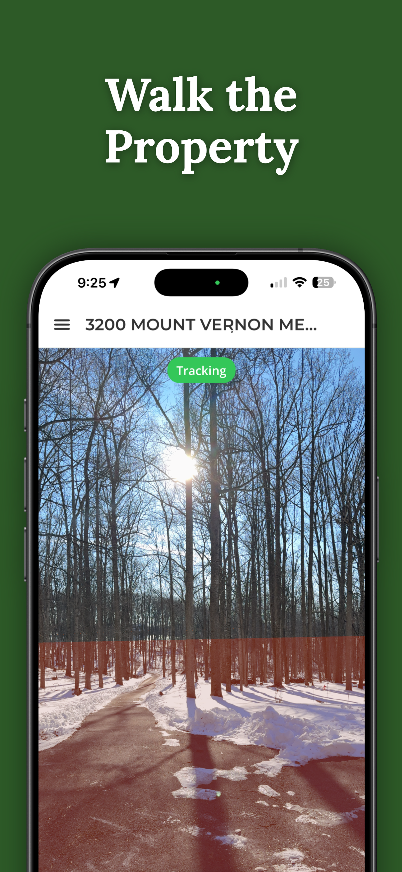
This is where the tools changed the job. With the parcel unlocked, ParcelVision draws the recorded boundary on the ground through the phone's camera — you and the buyer walk the line and watch it run across the actual land. It reads as "this is where the recorded line falls," which lands differently than pointing at a map in a folder.
Two practices that keep it professional:
- Say what it is. "This is the county's recorded parcel line — a survey pins it exactly." That's the accurate description, it sets the right expectation, and it protects you. More on the liability side in whether realtors can show property lines.
- Answer distance questions with numbers. "How much road frontage?" "How far is the creek from the line?" ParcelVision's Pro Tools measure along a line or from where you stand to any point — GPS-accurate, not survey-grade, and a real answer beats "quite a bit."
After the Showing: Send the Property Home With Them
The buyer who walks their fence-line at their own pace on Saturday is a buyer moving toward an offer. Share the unlocked property with them — recipients pay nothing — and hand over a printed map from Pro's printable property maps: the parcel on satellite with its boundary and a code that opens it on their phone. The listing goes home in their pocket instead of staying in your folder.
The Same Unlock Works the Whole Deal
One $14.99 unlock covers the listing appointment, every showing, the buyer share, and — if it closes — the closing gift. For a land agent, it's one of the cheaper pieces of the showing kit, and the only one buyers ask about afterward.
Walk the Line With Your Buyers
Search any listing free, unlock the parcel once, and show buyers the recorded boundary on the ground at the showing — then share it with them when they're interested.
Download ParcelVisionFree to download and search. Unlock and share a property for $14.99.
This article is for informational purposes only. ParcelVision displays recorded county parcel data and is a visualization aid, not a legal survey; measurements are GPS-accurate, not survey-grade. Represent boundaries to clients as recorded data, and recommend a licensed survey where certainty matters.