ParcelVision
How to Verify Acreage Before Listing Land
"±" is doing a lot of work in land listings. "40± acres" gets written on the strength of what the seller remembers, what the old listing said, or what the assessor's site showed in 2011 — and when the buyer's survey comes back at 36.8, the conversation about price happens at the worst possible moment, with your name on the listing.
Acreage misstatements are one of the classic land-listing disputes, and they're largely preventable with twenty minutes of checking before the listing goes live. Here's the check.
The Three Numbers That Should Agree
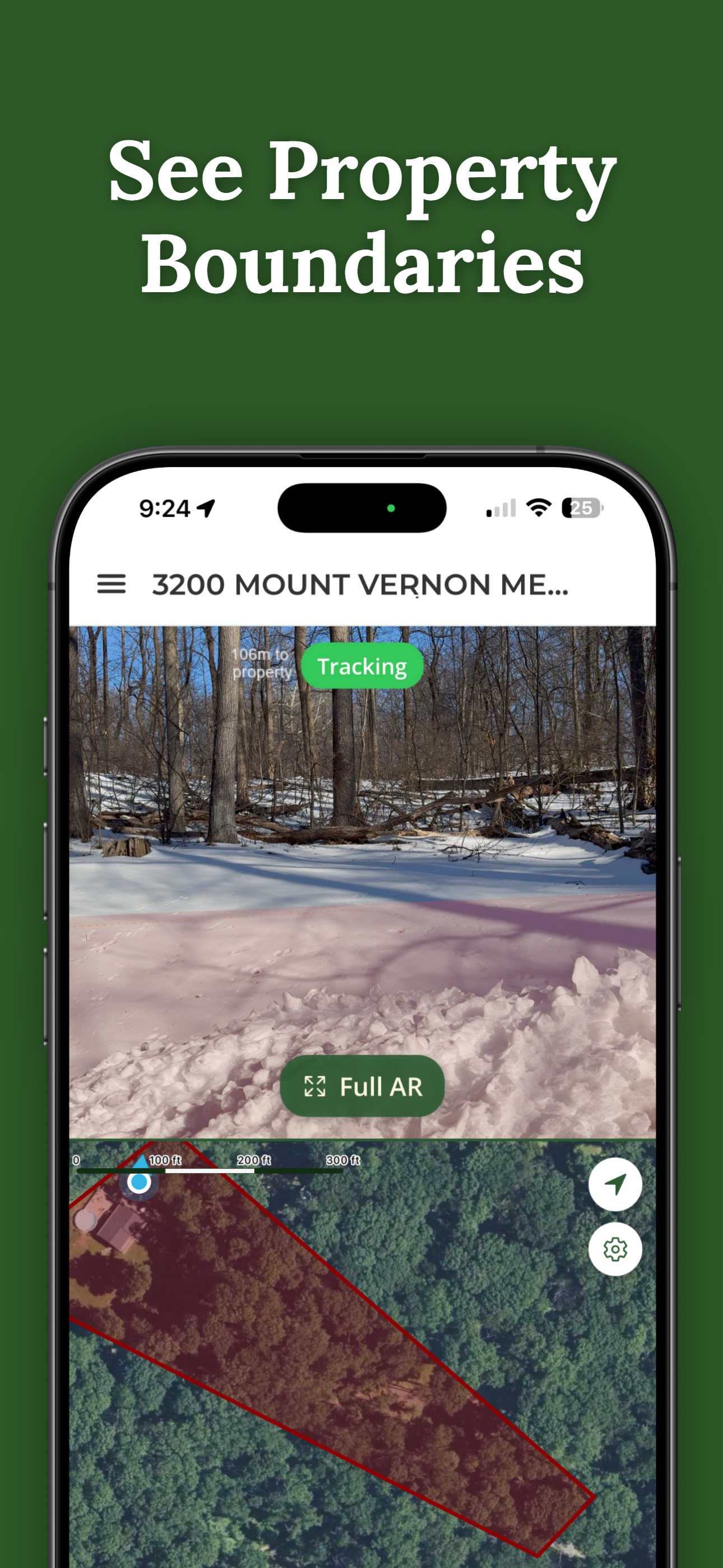
- The assessor's recorded acreage — what the county carries for the parcel. This is the number a parcel app returns in seconds; in ParcelVision, searching the address is free and the parcel facts include recorded acreage and the parcel number.
- The deed's legal description — what was actually conveyed. Metes-and-bounds descriptions state an acreage (often "more or less"); lot-and-block parcels tie back to a plat.
- Any existing survey — the most precise of the three, if one exists and is recent enough to reflect the current parcel.
When all three agree, quote the recorded figure and move on. The interesting cases are when they don't.
Why the Numbers Disagree — and Which to Trust
Deeded and assessed acreage come from different processes: deeds inherit numbers from surveys of varying age (sometimes 19th-century), while county GIS shapes are mapped representations that get adjusted over time. Splits, road takings, and easements create real gaps between what a deed says and what the county maps. As a rule of thumb: a recent survey beats the deed, the deed beats the assessor for what was conveyed, and the assessor beats memory — but a material conflict between any two is a flag worth resolving, not averaging.
What to Do When They Conflict
- Quote your source in the listing. "39.6 acres per county records" or "40 acres per deed" is a defensible statement; a bare number is a representation. Most MLS systems have an acreage-source field — use it.
- Tell the seller what you found. A seller who knows the county says 36.8 prices differently — and honestly — from one who's sure it's 40.
- Recommend a survey when the gap is material. On land priced per acre, a survey that settles a 3-acre question pays for itself many times over, and recommending it in writing is the professional move either way.
The Acreage Buyers Actually Ask About
Total acreage is the listing number, but buyers ask about pieces: How much is cleared? How big is the fenced pasture? How much road frontage? No county record answers those — they're measured, not recorded. ParcelVision's Pro Tools handle this in the field: sub-area acreage for the cleared piece or the pasture, line measurements for frontage and fence runs. Quote them as GPS measurements — accurate to roughly 10–30 feet and not survey-grade — which is precise enough for marketing and honest enough to say out loud. More on the mechanics in measuring land acreage with your phone.
Twenty Minutes, Once Per Listing
Pull the parcel (free), read the deed, ask about surveys, and write down which number you're quoting and why. It's the cheapest diligence in a land transaction, it upgrades the listing copy ("39.6 acres per county records, approximately 22 cleared"), and it means the buyer's survey confirms your listing instead of contradicting it. The same unlocked parcel then works the whole deal — the showing, the buyer share, and the closing gift.
Check the County's Number in Seconds
Search any listing address free and get the recorded acreage, boundary, and parcel number — then measure the cleared piece and the frontage with Pro Tools when buyers ask.
Download ParcelVisionFree to download and search. Unlock and share a property for $14.99.
This article is general information for real estate professionals, not legal advice; disclosure standards vary by state and MLS. GPS measurements are working estimates, not survey-grade figures, and ParcelVision is a visualization and measurement aid, not a legal survey. Use a licensed surveyor to resolve material acreage questions.