ParcelVision
How to Know Whose Land You're Hunting On
Every hunter has had the moment: you're following sign, the terrain pulls you one ridge further, and suddenly you're not sure whose land you're standing on. It's not a small question. Hunting someone else's property without permission is a citation in every state, a license suspension in many, and in some places a criminal charge — even when it's an honest mistake.
The fix is knowing where the lines are before the question comes up. Here's how to figure out whose land you're on, both from your kitchen table before the season and from the field when it counts.
Before the Season: Learn the Parcels Around You
Start with the county parcel map. Every county keeps records of who owns what, and most publish a GIS viewer where you can see parcel boundaries and the owner of record. Look up the land you have permission to hunt, then study what borders it — that's the map of where you can and can't end up.
Pay attention to the shapes. A property you think of as "the back 80" often has a neighbor's narrow strip, an odd corner, or a landlocked parcel you'd never guess from the terrain. The spots where three or four parcels meet are exactly where mistakes happen.
In the Field: Your Position Against the Lines
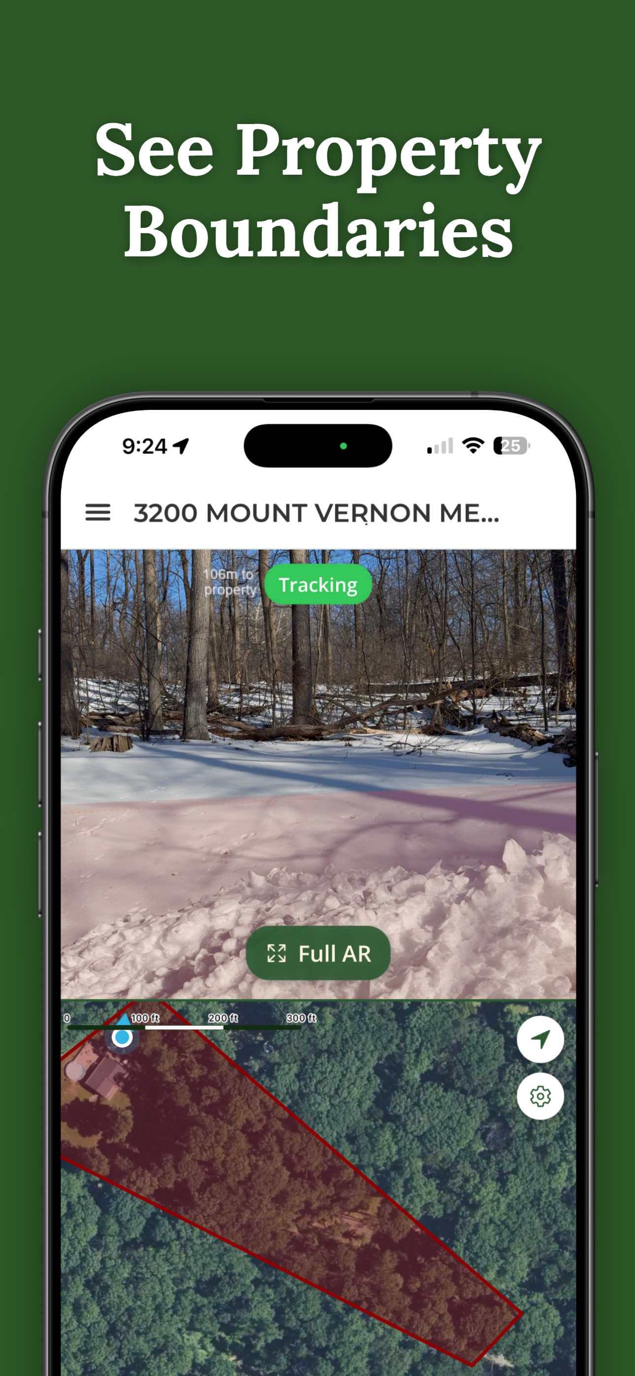
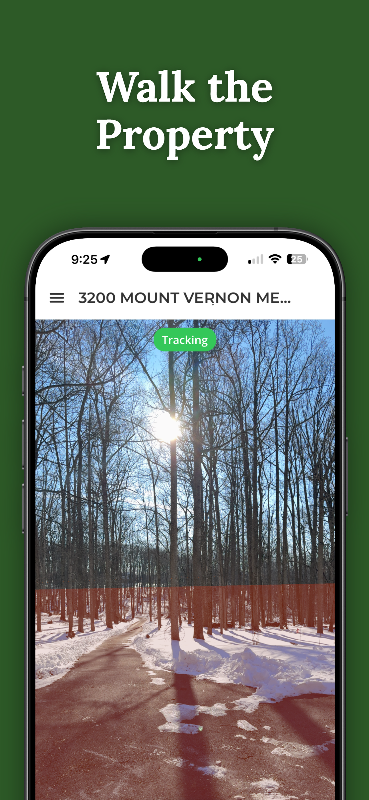
A paper map or a county GIS screenshot doesn't help much at first light in cover. What you want in the field is your live position against the parcel lines — which is what GPS property apps do. ParcelVision shows the recorded boundary drawn on the ground through your phone camera, so the line is something you can see in front of you, not something you're inferring from a dot on a map.
Searching is free — pull up the land you hunt and check the surrounding parcels before you commit to a stand location. And because rural cell coverage is what it is, an unlocked property works offline.
Set an Alert Instead of Checking Your Phone
The realistic failure mode isn't ignorance — it's attention. You know roughly where the line is, but you're watching the deer, not the app. ParcelVision's Pro Tools include boundary alerts that notify you as you approach a line, so the app watches the boundary while you watch the woods.
Finding the Owner to Ask Permission
Knowing whose land it is turns "posted, keep out" into a name you can actually approach. The owner of record from the county parcel data is the starting point; a polite knock or letter in the off-season is how most hunting permission actually gets granted. Landowners say yes far more often to the hunter who asked in July than the one they found inside the line in November.
What Counts as Trespassing While Hunting
The rules vary by state, but the common shape: entering private land without permission is trespass whether or not it's posted in many states; in others, posting or notice matters. Some states treat armed trespass as its own, more serious offense, and hunting-related trespass can put your license at risk. Retrieving game across a line has its own rules — we cover that in whether you can track a deer onto private property. When in doubt, your state wildlife agency's regulations are the authority.
Know the Line Before Opening Day
ParcelVision shows the parcel lines around you, drawn on the ground through your phone camera — and searching is free. Scout the boundaries in the preseason and hunt with the line in view.
Download ParcelVisionFree to download and search. See your first boundary on the ground for $14.99.
This article is for informational purposes only and isn't legal advice. Trespass and hunting laws vary by state — check your state wildlife agency's current regulations. ParcelVision is a visualization aid built on county records and GPS, not a legal survey; it does not establish where you may legally hunt.