ParcelVision
How Close to a Property Line Can You Hunt?
Property-line questions in hunting usually aren't about standing in the wrong place — they're about distances. How close to the line can you set a stand? How far from the neighbor's house do you have to be? Can you shoot toward a boundary?
The honest answer is that the numbers vary by state, by town, and by weapon. But the structure of the rules is consistent almost everywhere, and once you know the structure, you know exactly what to look up — and what to measure.
The Line Itself Usually Isn't the Limit
In most states there's no general setback from a property line for hunting: with the landowner's permission, you can hunt at the line. What the law cares about is what's beyond it — people, dwellings, livestock, roads — and what your shot does. The line matters because everything past it is land you don't control and can't cross, which is why knowing exactly where it runs shapes stand placement and shot selection.
Safety Zones: the Distance That's Actually Regulated
What most states do regulate is a safety zone around occupied buildings — a minimum distance within which you can't hunt or discharge a weapon without the occupant's permission. The distances vary widely by state and often differ for firearms versus archery, with some towns and counties layering stricter local ordinances on top. Check your state wildlife agency's regulations and your local ordinances for the actual numbers where you hunt; don't borrow a distance you heard from another state.
Two practical implications. First, a safety zone is measured from the building, not the line — a neighbor's house near the boundary can push the no-hunt zone well onto the land you have permission to hunt. Second, "occupied" typically includes houses, barns, and structures in use, not just homes.
Shooting Toward or Across a Line
Even where no written setback exists, shooting across a boundary onto land you don't control is a serious problem: a projectile landing on the neighbor's property can be reckless endangerment, criminal mischief, or the fact pattern in a civil suit — and it's the fastest way to lose the permission you have. The working rule experienced hunters use: know what's behind your target all the way to the ground, and treat the line as a backstop question, not just a location question.
Know Your Actual Distances, Not Your Guess
All of this turns on distances hunters usually estimate — and estimate badly in cover. This is a measurement problem, and it's solvable:
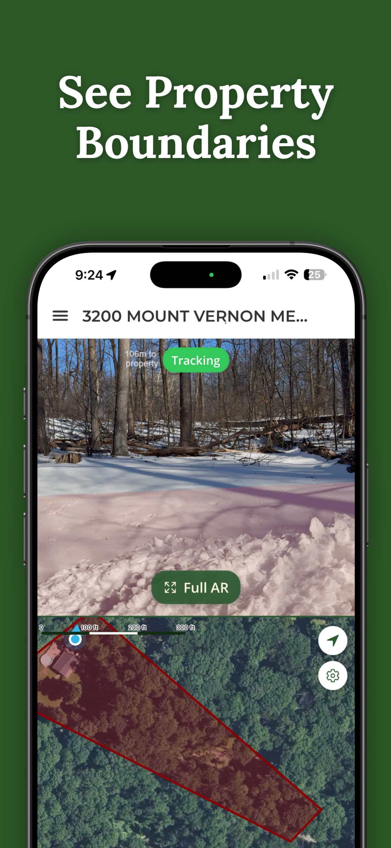
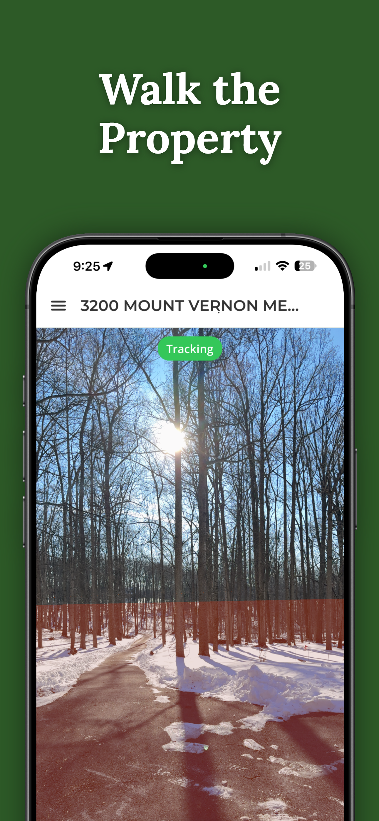
- Where's the line? ParcelVision draws the recorded boundary on the ground through your camera, with a live readout of your distance to the line as you move.
- How far is the neighbor's house from my stand? Pro Tools' measure-to-point gives you the distance from where you stand to any point — a building, a road, a line — so a safety-zone question becomes a number instead of a guess.
- Which stands are too close? Check in the preseason, while moving a stand is a chore instead of a violation. Mark the boundaries once and the season takes care of itself.
GPS distances are estimates too — accurate to roughly 10–30 feet, not survey-grade — so leave a margin rather than hunting the edge of a legal number.
Where to Get the Real Numbers
Your state wildlife agency's current regulations for state-level safety zones and discharge rules; your town or county code for local ordinances; and your state's pages in our property line laws by state reference for the boundary side of it. When a setup is genuinely close, a call to your warden before the season beats a conversation with them during it.
Turn "About How Far?" Into a Number
See the line on the ground with a live distance readout, and measure from your stand to any building or boundary with Pro Tools. Searching any address is free.
Download ParcelVisionFree to download and search. See your first boundary on the ground for $14.99.
This article is for informational purposes only and isn't legal advice. Safety-zone distances, discharge rules, and hunting setbacks vary by state, municipality, and weapon type, and change over time — check your state wildlife agency and local ordinances for current numbers. ParcelVision measurements are GPS-accurate, not survey-grade; a visualization aid, not a legal survey.