ParcelVision
How to Mark Property Boundaries for Hunting Season
The best boundary work of the season happens before it opens. Once you're hunting, the line needs to be something you already know — not something you're working out with cold fingers at legal light. An afternoon of preseason marking buys you a season of hunting without second-guessing where you are.
Here's the routine: walk the lines once, mark them twice — physically on the land and digitally on your phone — and set things up so the boundary takes care of itself while you hunt.
Start With a Boundary Walk
Pull up the parcel and walk the perimeter of the land you hunt, or at least the stretches that matter — the sides that border other private land. We've written a full guide on how to walk your property lines; the short version is start from a findable corner, follow the recorded line rather than old fences, and slow down at corners where errors live.
As you walk, note where the terrain pulls at you: the funnel that crosses the line, the creek bottom that wanders over it, the ridge where "one more ridge" would put you on the neighbor. Those are the places worth marking heaviest.
Physical Marks: Cheap and Visible
- Flagging tape at eye level every 50–100 yards along the stretches you'll hunt near, and doubled at crossings. Bright orange or pink reads even in gray November light.
- T-posts or painted stakes at corners and anywhere a line crosses a trail — corners are where confusion concentrates.
- Respect the boundary itself: mark your side of the line, and never blaze or nail markers into trees that aren't yours. If the neighboring owner hunts too, comparing notes on where you both believe the line runs prevents most disputes before they start.
Physical marks fade, fall, and get moved — treat them as reminders, not authority. The recorded line is the reference; the tape just makes it visible at a distance.
Digital Marks: Waypoints You Can Come Back To
The second layer is digital. Drop a GPS waypoint at every corner, every crossing, and every stand site as you walk — ParcelVision's Pro Tools let you save waypoints on the property and navigate back to any of them with an on-screen heading. That's what gets you to the right tree in the dark, and back to a marker when the flagging tape is gone in year two.
If your setup involves a handheld GPS or a hunting app, export the boundary as a file and carry it there too — here's how GPX/KML export works. The same recorded line on every device you use.
Let the Boundary Watch Itself
Marking is preparation; attention is the in-season problem. ParcelVision's boundary alerts notify you as you approach a line, which matters most exactly when you're least likely to be checking a screen — on a stalk, on a blood trail, in the last light. Set the alert and hunt.
Check the Lines Again Each Year
A preseason hour each year keeps the system honest: replace fallen tape, confirm corners, re-walk any stretch you'll hunt hard. Parcel data can also change — properties sell and split — so it's worth re-checking the neighboring ownership each summer while you're at it.
Mark It Once, Hunt It All Season
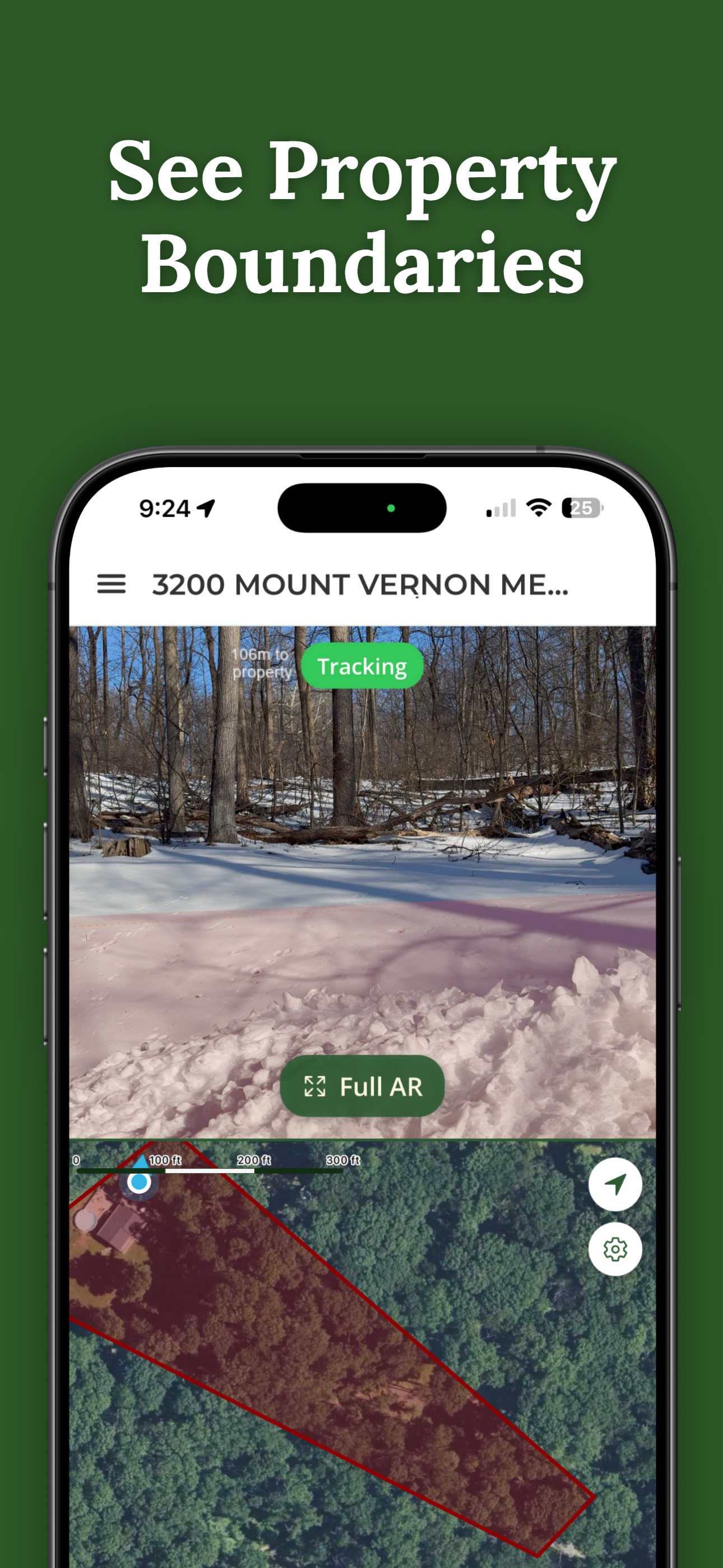
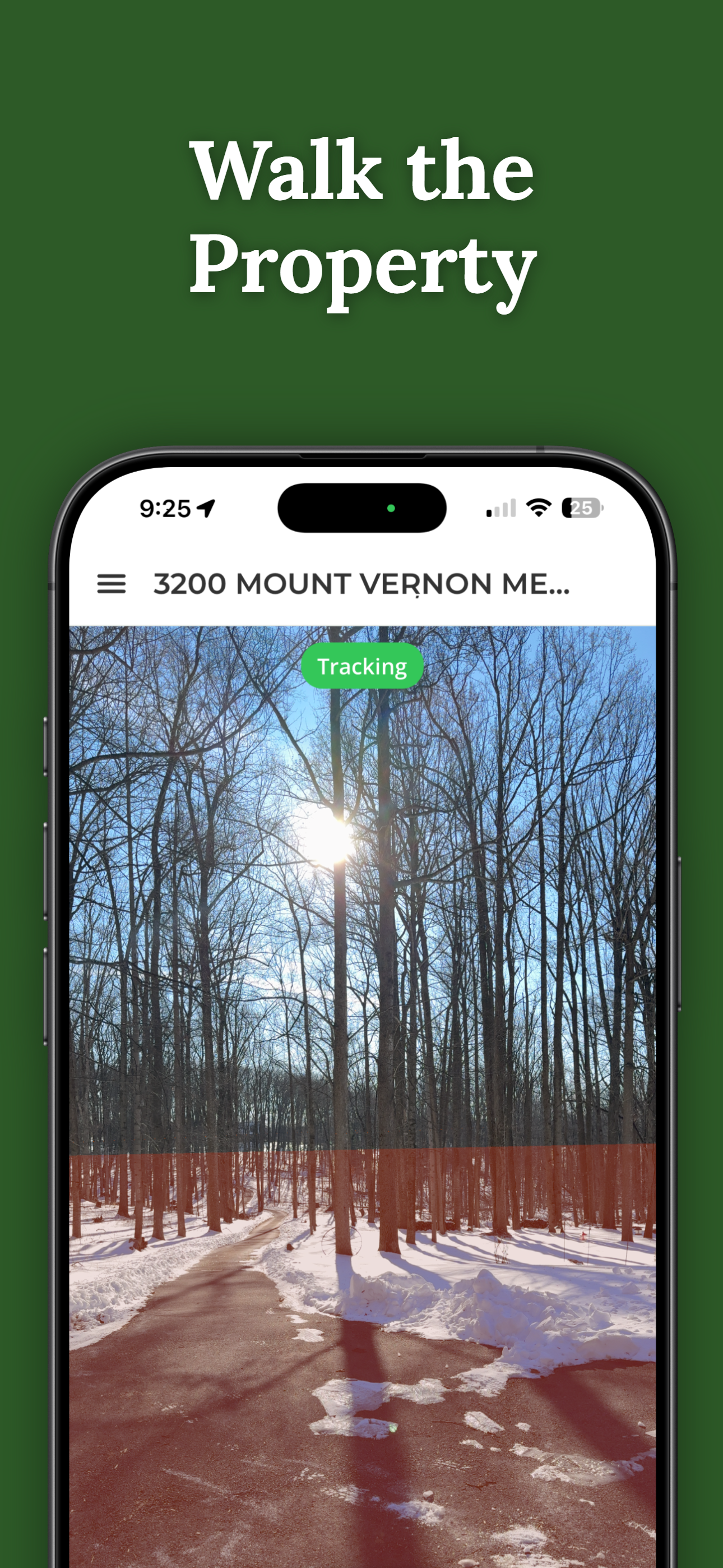
Walk your lines with the boundary drawn on the ground in your camera view, drop waypoints at corners and stands, and set boundary alerts for the season. Searching any address is free.
Download ParcelVisionFree to download and search. See your first boundary on the ground for $14.99.
This article is for informational purposes only. Boundary data in apps comes from county records and GPS accuracy is not survey-grade — a visualization aid, not a legal survey. Mark and hunt conservatively near lines, and get landowner permission or a licensed survey where certainty matters.