ParcelVision
How to Find the Boundaries of a Hunting Lease
A hunting lease is a promise about land you don't own. The landowner knows where their lines are. You, three weeks into your first season, are standing at a creek wondering whether the far bank is still the lease. That gap is where lessees lose leases: a stand on the neighbor's side, a truck through the wrong gate, a deer recovered from ground nobody gave you.
Closing it takes an hour before the season.
Start With What the Lease Actually Says
Read the lease for how it describes the land. Good leases use one or more of these:
- Parcel numbers (APN or tax ID). The most useful, because they match the county record exactly.
- Acreage and a legal description from the deed.
- A map exhibit: a plat, an aerial with lines drawn on it, or a printout from the county viewer.
- Exclusions: the house and yard, livestock pastures, a pond, a neighbor's easement. Lessees most often get these wrong.
- Access: which gates and roads you may use, and where you may park.
If your lease only says "the Miller farm," ask the landowner for the parcel numbers and an exclusions sketch before you pay. Most will happily give you both; it protects them too.
Match the Lease to the County Record
Look up each parcel number in the county's parcel map, or search it in ParcelVision under Parcel ID search & more options. Check three things:
- The acreage roughly matches the lease. A big gap usually means the lease covers more than one parcel, or less than one.
- Every parcel in the lease is accounted for. Farms are often several tax parcels with one owner.
- Parcels the same owner holds outside the lease. Owning the next field over doesn't mean it's leased to you.
Walk It Before Opening Day
Maps get you oriented; walking the line is what keeps you legal. Do it in daylight before the season, ideally with the landowner for the first lap:
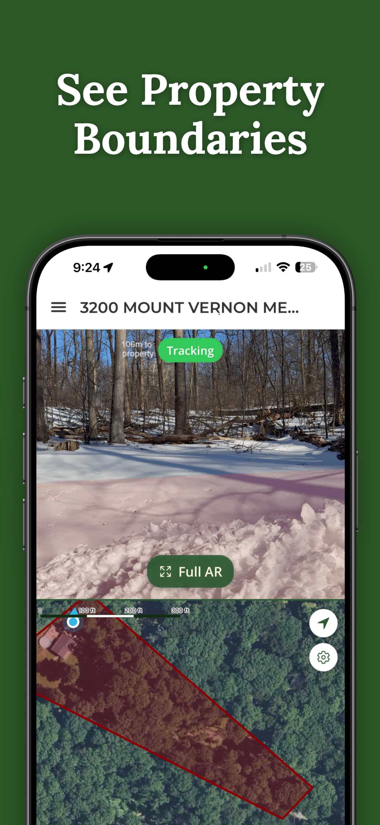
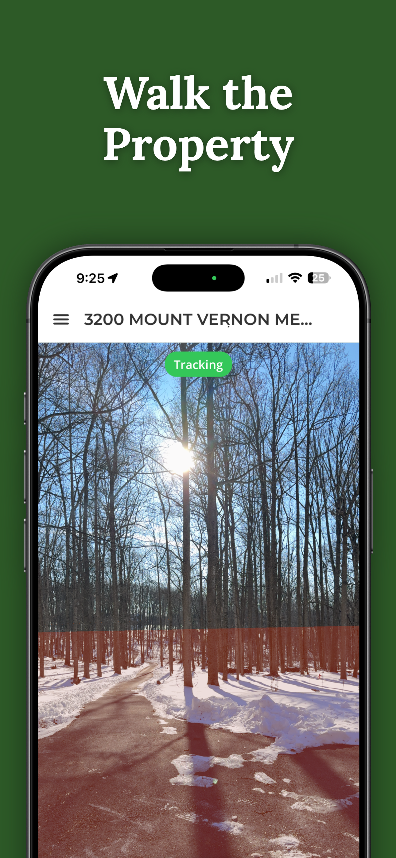
- See the boundary as you walk. ParcelVision draws the recorded line on the ground through your camera, so the creek-bank question has an answer on the spot.
- Mark what matters. With Pro Tools, drop waypoints for stands, gates and parking, and turn on boundary alerts so your phone tells you when you're nearing the line in the dark.
- Note the exclusions. The record shows the parcel line, not the no-hunting zone around the house. Flag those yourself.
- Find the corners. Pins, painted trees and old fence corners confirm what you're seeing. Our guide to finding property pins covers what to look for.
Get the Whole Club on the Same Line
The member who never walked the boundary is the one who hangs a stand on the wrong side. In ParcelVision, one person unlocks the parcel for $14.99 and shares it with everyone on the lease for free. Each member gets the same boundary on their own phone. With Pro Tools you can also export the boundary and waypoints as GPX or KML for members who live in a map app.
When the Line and the Landowner Disagree
Sometimes the landowner says "we've always hunted to that fence" and the county line runs 40 yards past it. For a lease, the landowner's understanding of what they're leasing you is what matters day to day. But if the difference puts you on a neighbor's ground, settle it with the landowner before you hunt it. Fence lines and recorded lines often disagree. Our article on property line vs. fence line explains why.
Put Your Lease Boundary in Every Member's Pocket
Search the lease parcels free, unlock each one once for $14.99, and share it with the whole club at no extra cost. It works in the field with no signal.
Search Your Lease FreeFree to download and search. One-time $14.99 per property, free to share.
This article is for informational purposes only and isn't legal advice. Hunting, trespass, posting and safety-zone rules vary by state and municipality and change over time; check your state wildlife agency and local ordinances. Competitor prices are as published by each company in October 2026. ParcelVision is a visualization aid, not a legal survey.